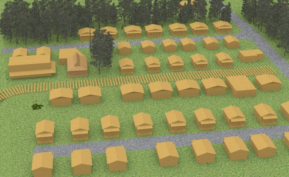
| Parkin, Sara | 2019 | Reconstructing Buffalo City (1887-1986): Applying Archaeological Site Reconstruction Techniques to a North Carolina Maritime Entrepot |
Off from the Alligator River, Parkin reconstructed Buffalo City from its origins as a logging camp to its decline as a moonshiner haven. Within Rhinoceros 7, the thesis includes textured models of several of the structures based on-site pilings, historic photography, and archived maps.
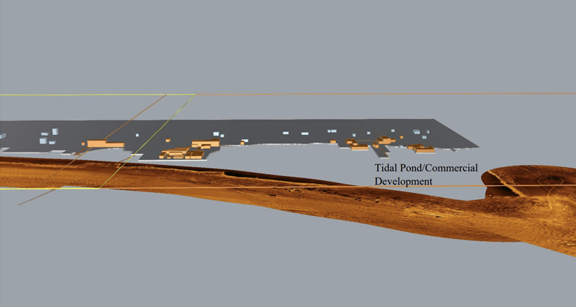
| Lowe, Matt | 2022 | Visualizing History: Reconstructing the Historic Port of Washington, North Carolina through Historic Map Examination, Archaeological Investigation, and 3D Software |
Lowe reconstructed the landscape of Washington, North Carolina to explain the decline. The master’s thesis contains a combination of Rhinoceros 3D Models based on historic maps like Sanborn maps and utilizes sonar imagery of the coastline to model the buildings that existed in the late 1800s and their decline.
Agriculture and Fishing (red) layers (Lowe 2022:116)