Mueller A, Thomas A, Brown J, Young A, Smith K, Connelly R and Richards SL (2023). Geographic information system protocol for mapping areas targeted for mosquito control in North Carolina. PLOS One (epub ahead of print). doi:10.1371/journal.pone.0278253
Abstract
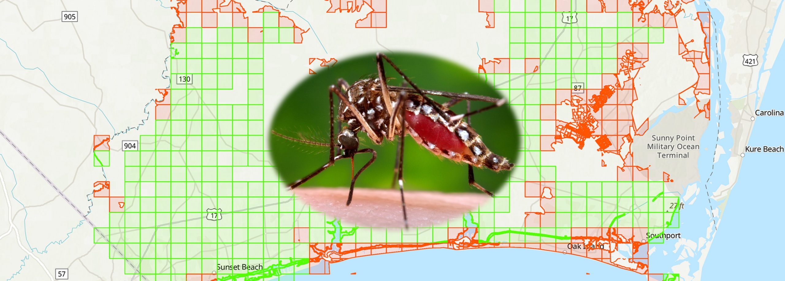
Geographic information systems (GIS) can be used to map mosquito larval and adult habitats and human populations at risk for mosquito exposure and possible arbovirus transmission. Along with traditional methods of surveillance-based targeted mosquito control, GIS can help simplify and target efforts during routine surveillance and post-disaster (e.g., hurricane-related flooding) to protect emergency workers and public health. A practical method for prioritizing areas for emergency mosquito control has been developed and is described here. North Carolina (NC) One Map was used to identify state-level data layers of interest based on human population distribution and mosquito habitat in Brunswick, Columbus, Onslow, and Robeson Counties in eastern NC. Relevant data layers were included to create mosquito control treatment areas for targeted control and an 18-step protocol for map development is discussed. This protocol is expected to help state, territorial, tribal, and/or local public health officials and associated mosquito control programs efficiently create treatment area maps to improve strategic planning in advance of a disaster. This protocol may be applied to any NC county and beyond, thereby increasing local disaster preparedness.