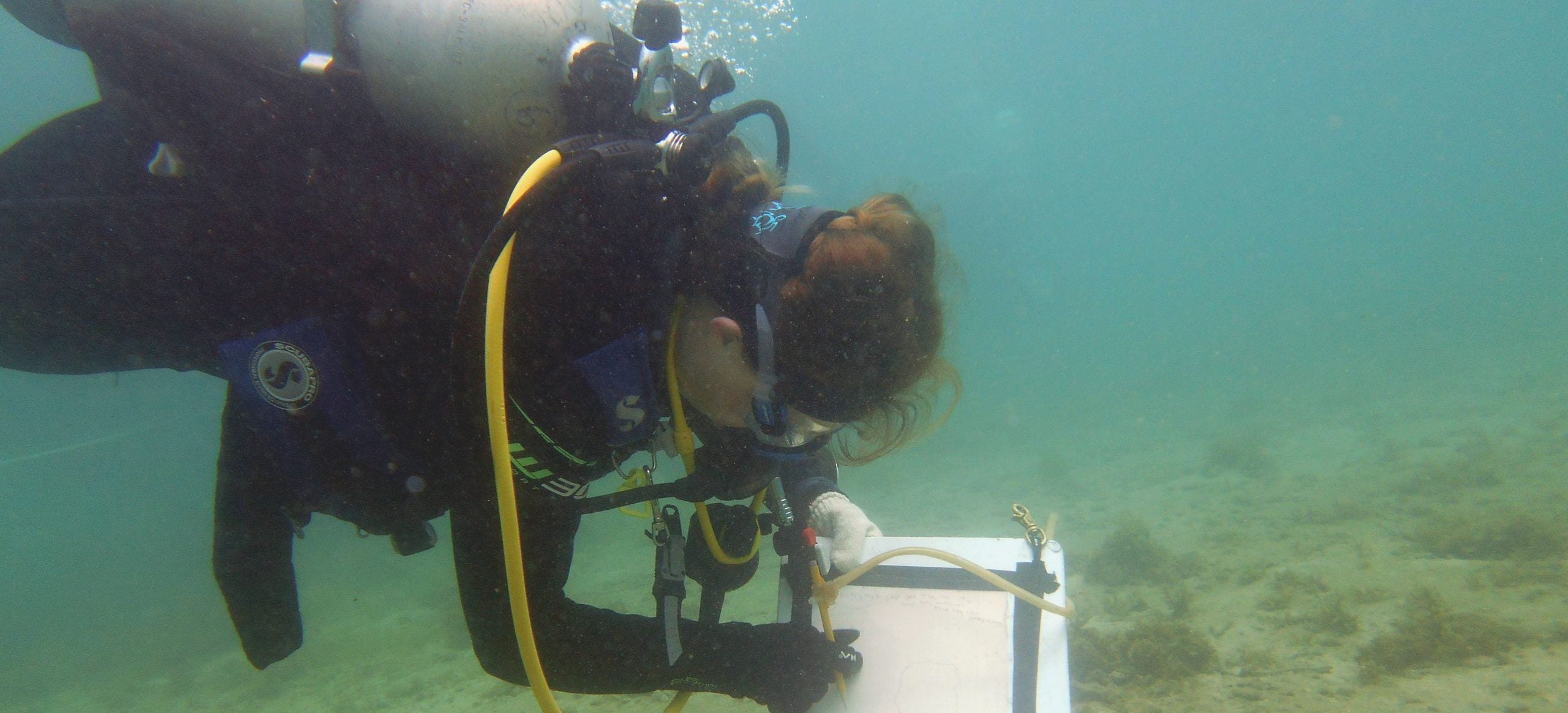
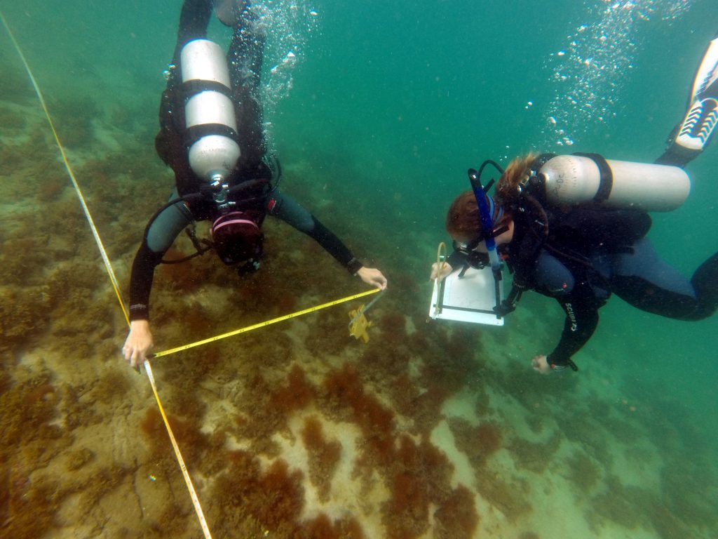
Today we continued mapping the Brick Site in Cahuita’s National Park. The weather was perfect, the visibility was great, and the water temperature was better than anyone could have asked for. The baseline is 54 meters in length, so we split up the site into 5 meter units. In total there are 22 units and we have completed about half.
Today Bettie and I mapped Unit 30-35 east. There was not much located within this unit. It is located towards the southern end of the main brick pile. We found 2 bricks, something that may be pottery, and a very large coral head. The coral head was interesting to map because that was where the nurse shark we found yesterday was sleeping! I made sure to check all around it before getting close to take my measurements. Today was the second day I drew underwater for mapping and I could tell I have been improving at it (see mine, Devin, and Emily’s previous blog about long hair problems and our first day mapping the brick site). Though I could tell an improvement, I still have a lot to learn! Luckily, there are plenty more units to sketch to improve my skills.
After checking my unit with Bettie, Jeremy double checked it and Bettie and I moved on to another task. Jeremy asked us to measure how far away the adjoining reef was away from the baseline. Bettie and I worked in 1 meter units, swimming out and measuring where large coral heads begin to form the neighboring reef which is abundantly with marine life. Generally the reef about 14 meters away from the majority of our site.
-Elise

