Since we left Costa Rica a lot has happened. The semester has seen most of the students back in class, busily working on papers and […]
Read moreTag: Scientific Diving
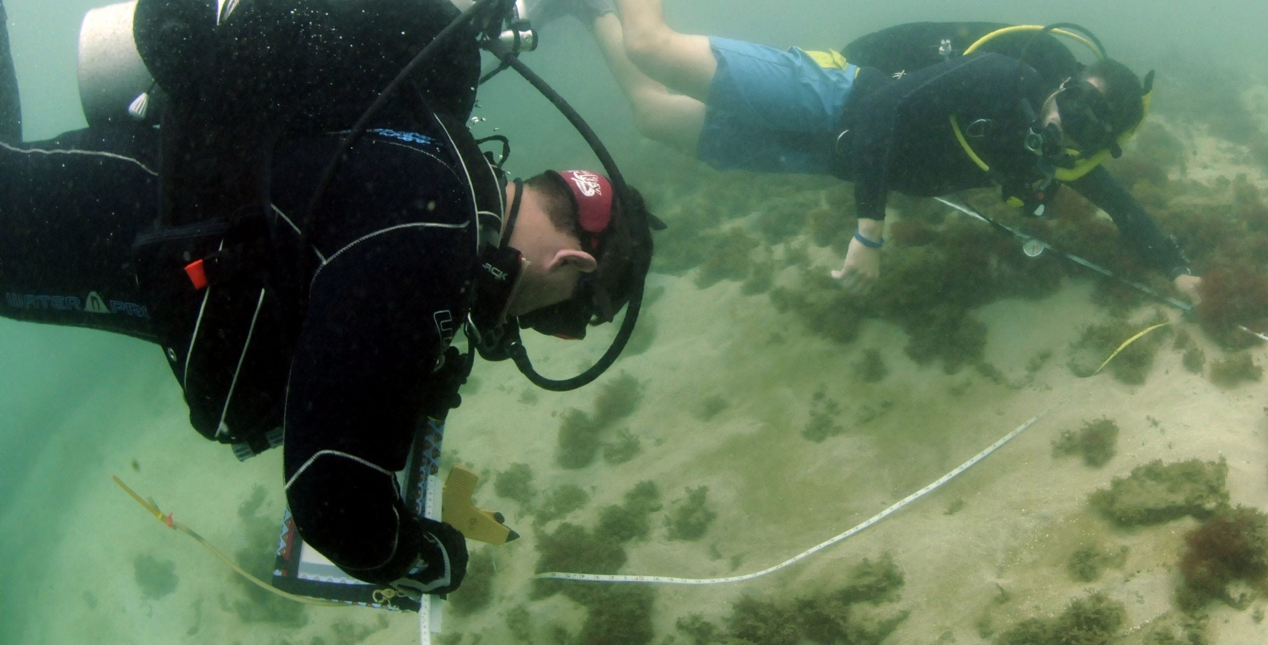
Last Day of Recording!
After a great deal of hard work, and more than our fair share of “dumb jar” moments, all teams finished recording their sections of the […]
Read more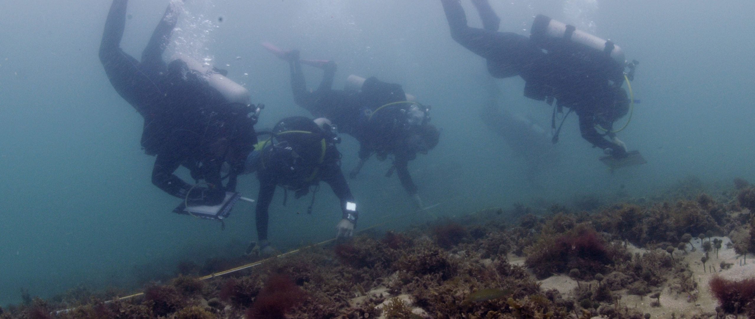
Close to finishing our second site!
Another beautiful morning for diving in Cahuita! The goals of the field school are progressing well, and at this rate we should complete all our […]
Read more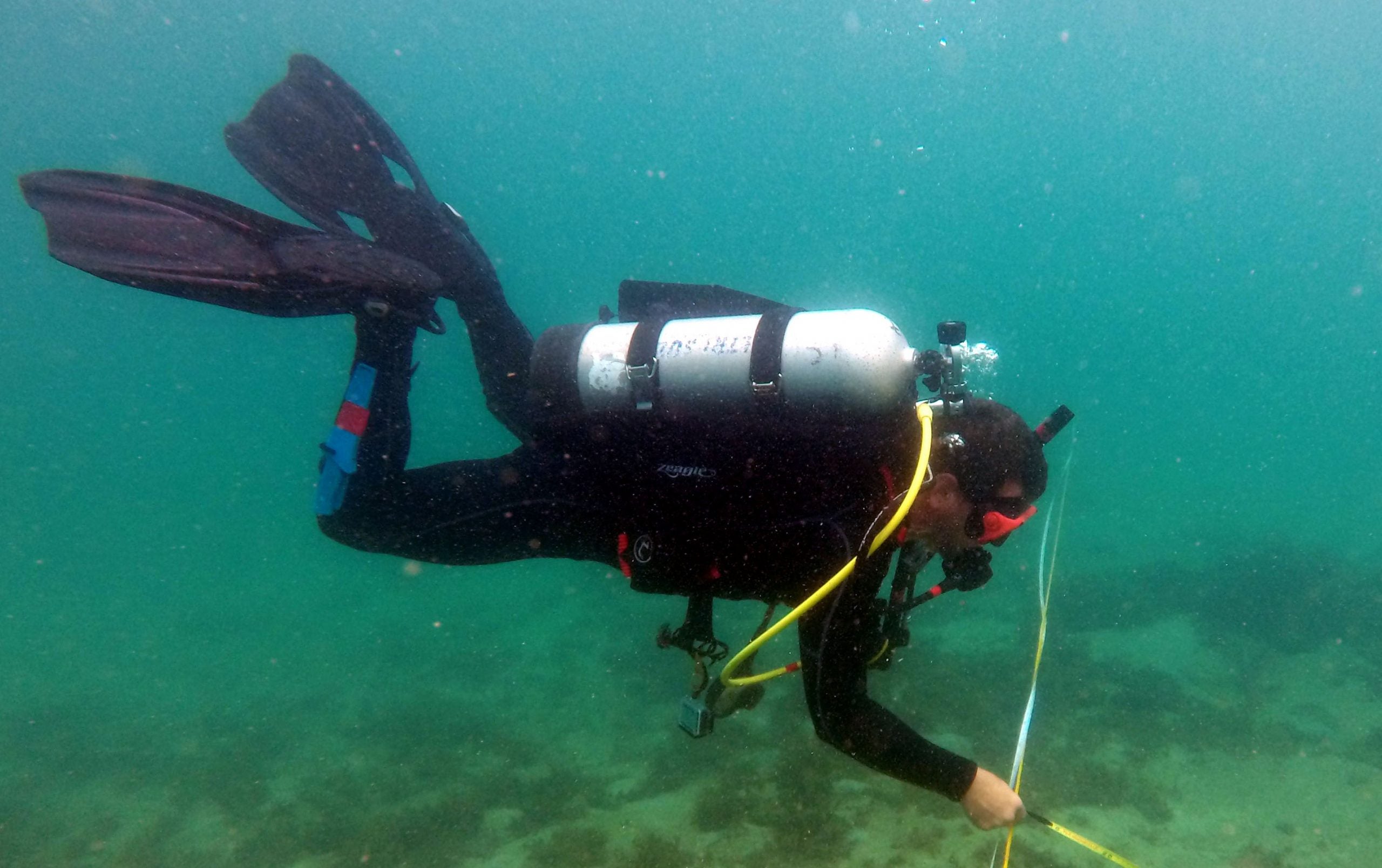
The Brick Site Starts to Take Shape
Today, our team (Lauren and Scott) continued to map our unit at the Brick Site. After refining our technique over the past few days, we […]
Read more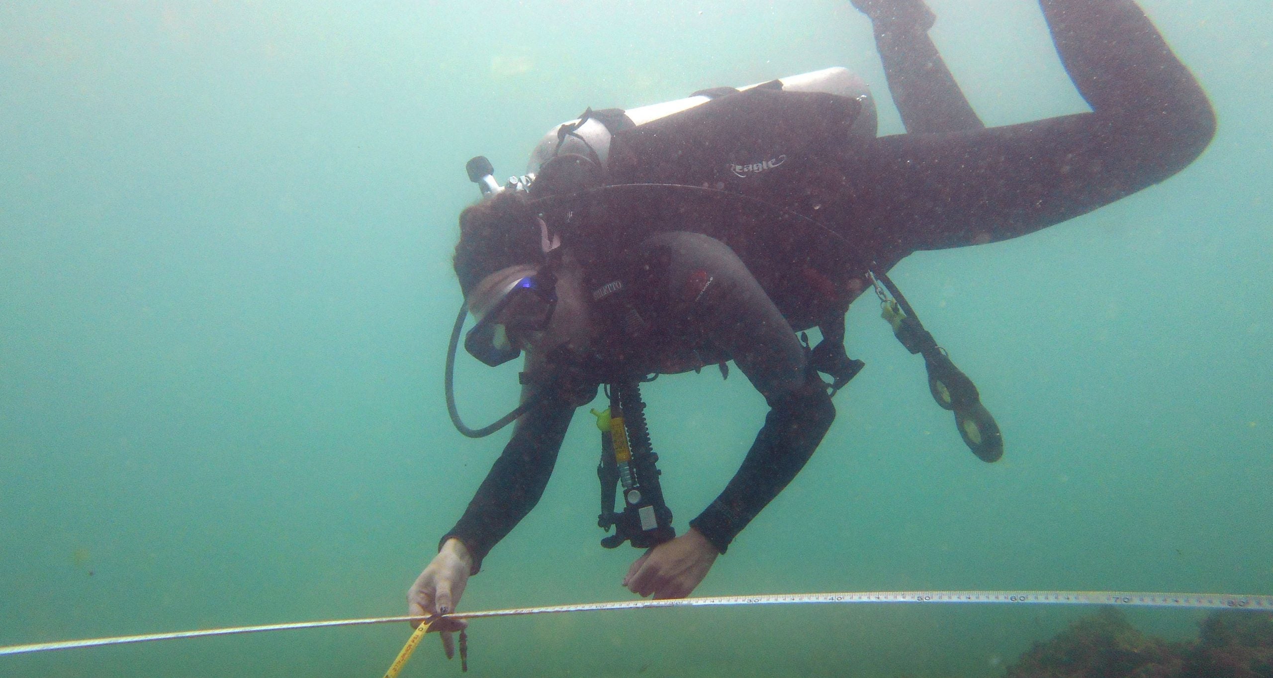
We’ve (almost) got scientific mapping down to an art
Today, a group of us returned to the brick site to continue working on our units. Most of the bricks lie between 20 and 30 […]
Read more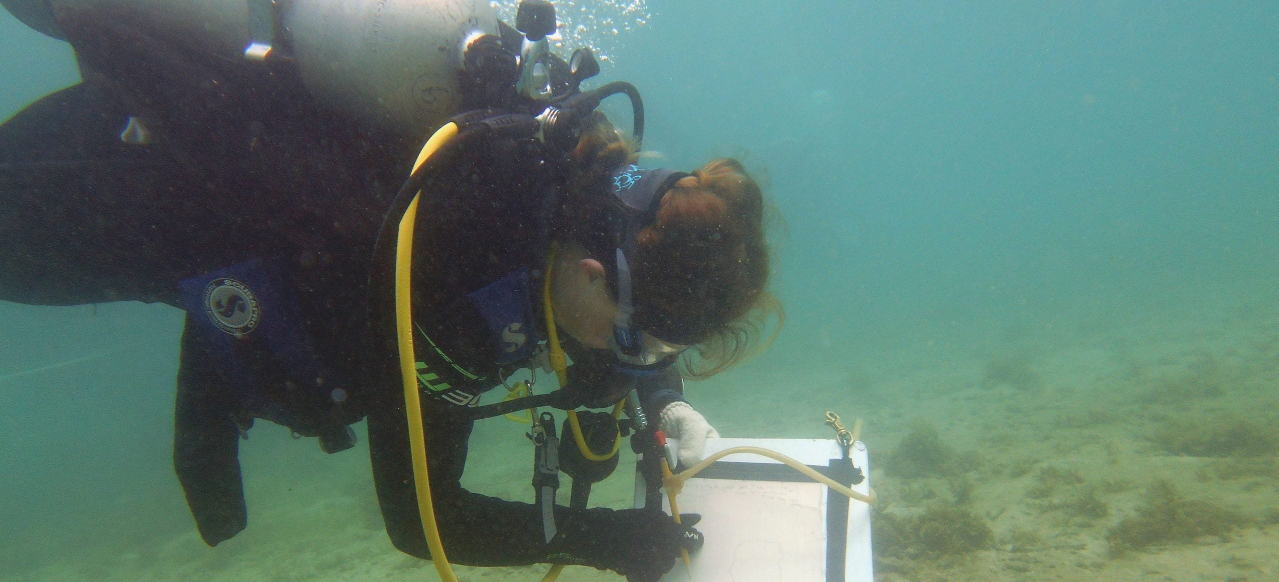
Just another day mapping paradise!
Today we continued mapping the Brick Site in Cahuita’s National Park. The weather was perfect, the visibility was great, and the water temperature was better […]
Read more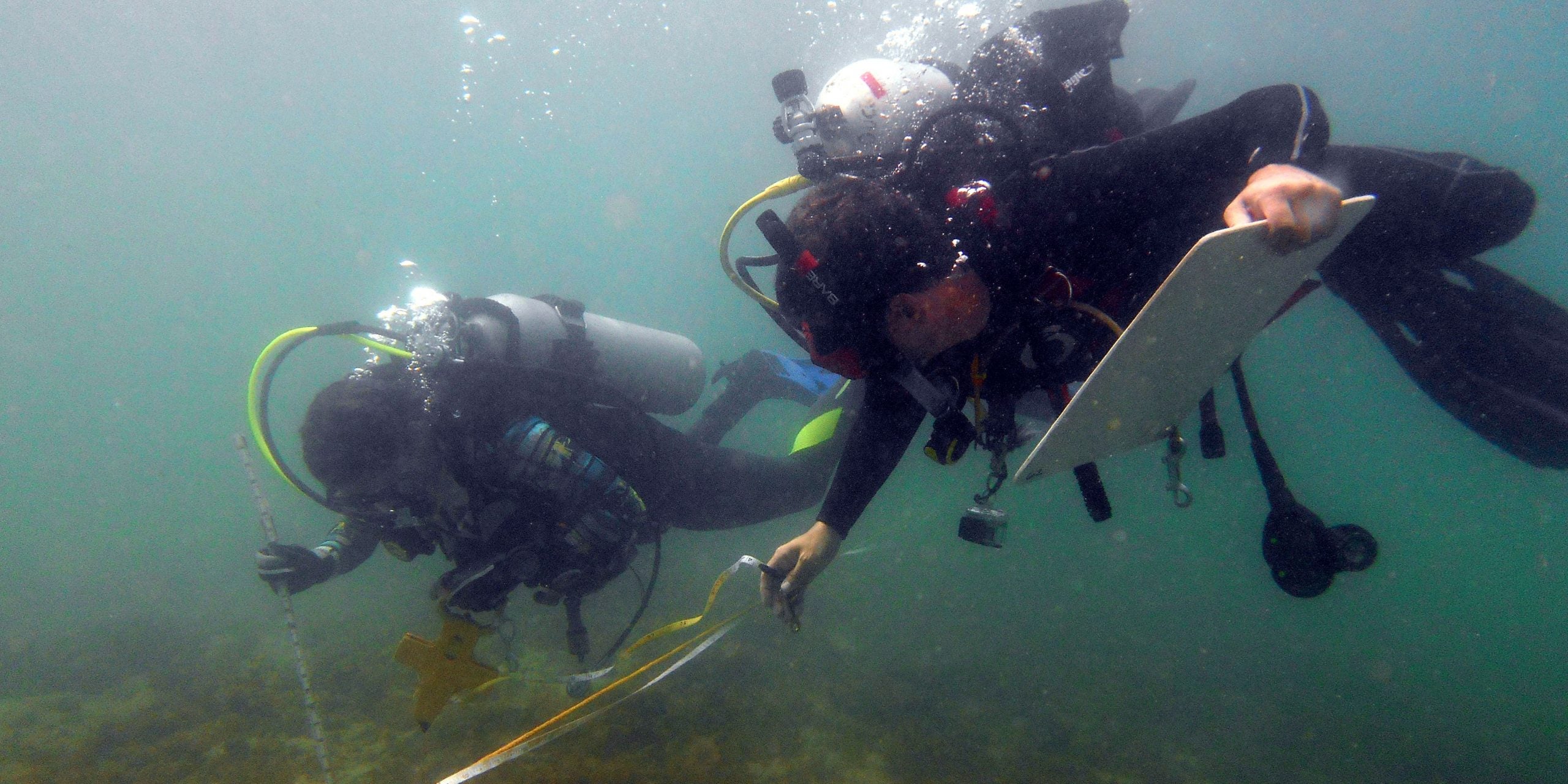
Mapping the Brick Site
If a picture is worth a thousand words than a map is worth a million. The finished product will be invaluable to presenting the site […]
Read more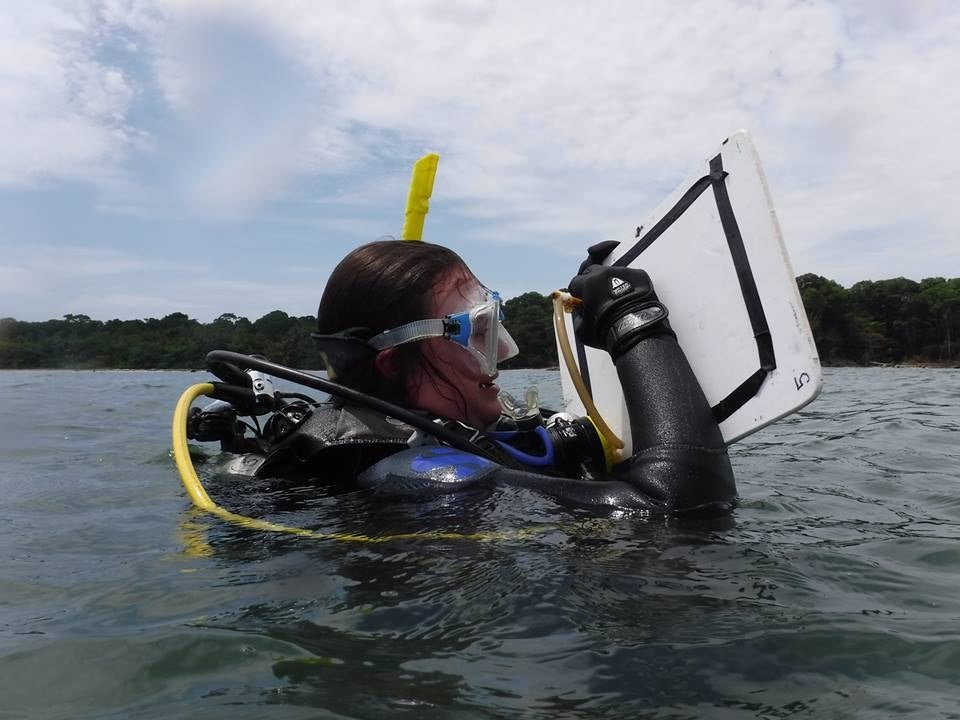
Finishing the Cannon Site
Today, two groups basically finished working on the cannon and anchor site. My group was in charge of taking the compass bearings for each of […]
Read more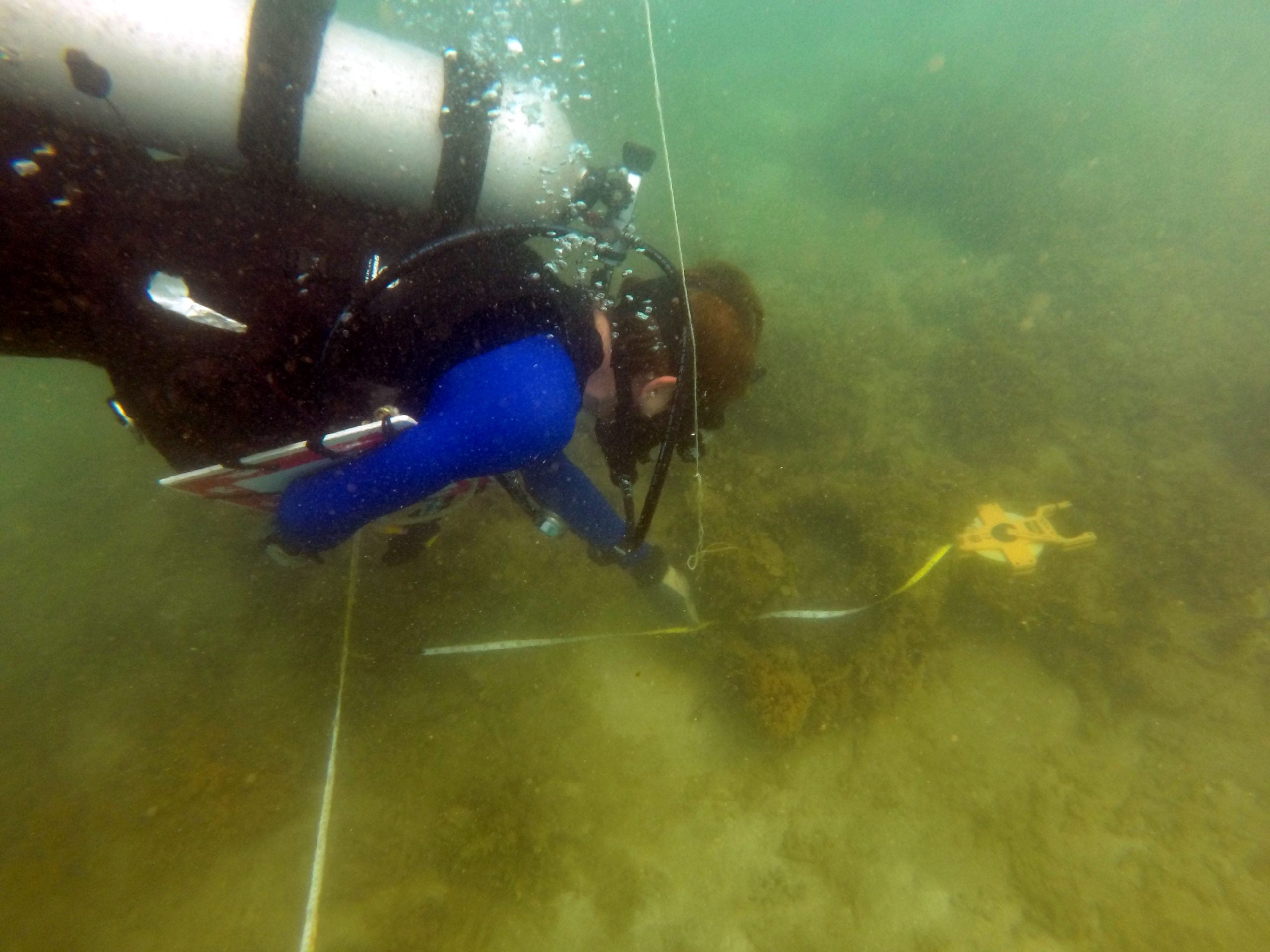
A comedy of errors (and, of course, some mapping)
Today we started mapping the brick site using the baseline we set two days ago. Each of us was assigned a “unit” to map to […]
Read more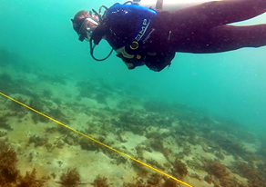
Skills: How to lay a baseline
Today, we set, what might be, the perfect baseline on a maritime archaeology site. We will be systematically mapping the Brick site using the baseline […]
Read more