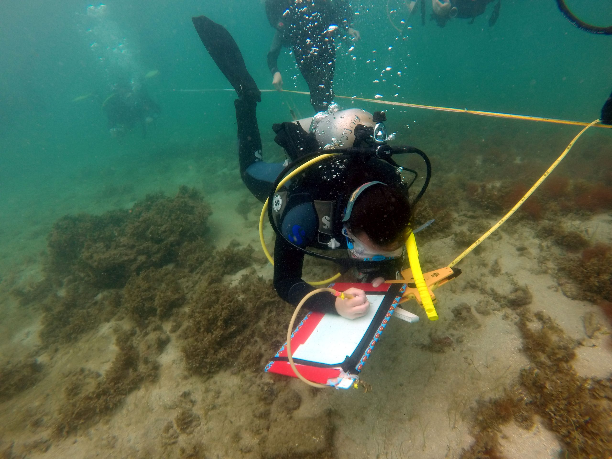
If a picture is worth a thousand words than a map is worth a million. The finished product will be invaluable to presenting the site to the public, stakeholders, and other professionals. Mapping a site is one of the most rewarding aspects of a project.
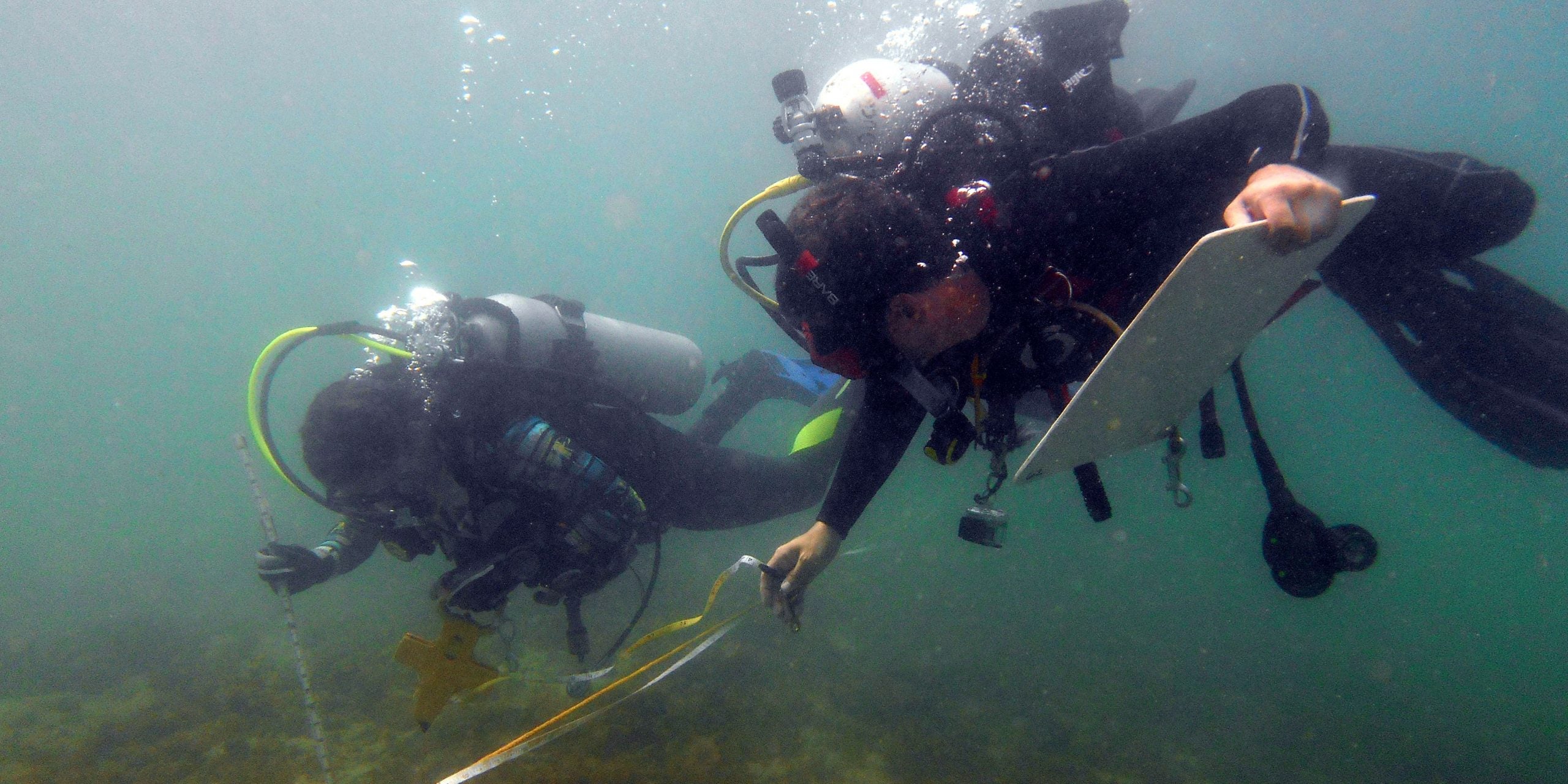
Now that recording is complete at the cannon site, the crew is focusing on mapping the brick site. The crew worked in buddy pairs to each record 5 meter units off the baseline. Today was my first opportunity to work on the brick site. Even focusing only on one unit, I was able to see more details than I had when the crew free dove the site last week. It was very exciting to find the edged -line of piled bricks that are buried in the sandy bottom, securing evidence that the site has much more potential than what was initially exposed on the sea floor (no, we will not be excavating during this project).
I’ve experienced land-based archaeology for six years in all types of conditions and today was the most challenging mapping situation I’ve faced to date. There are so many more concerns to mapping on SCUBA: keeping hold of all your tools, maintaining buoyancy, watching your air consumption, and ensuring that all the measurements are taken with the tapes at 90 degrees to maintain accuracy when even a slight surge is pushing you off your lines (just to name a few).
-Lauren