Finishing the Cannon Site

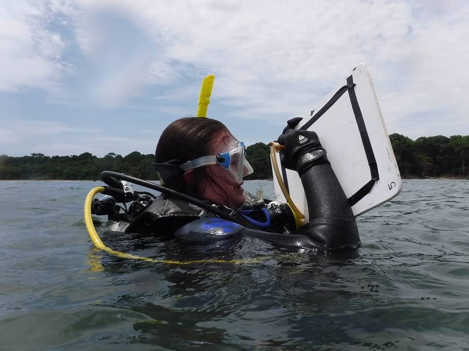
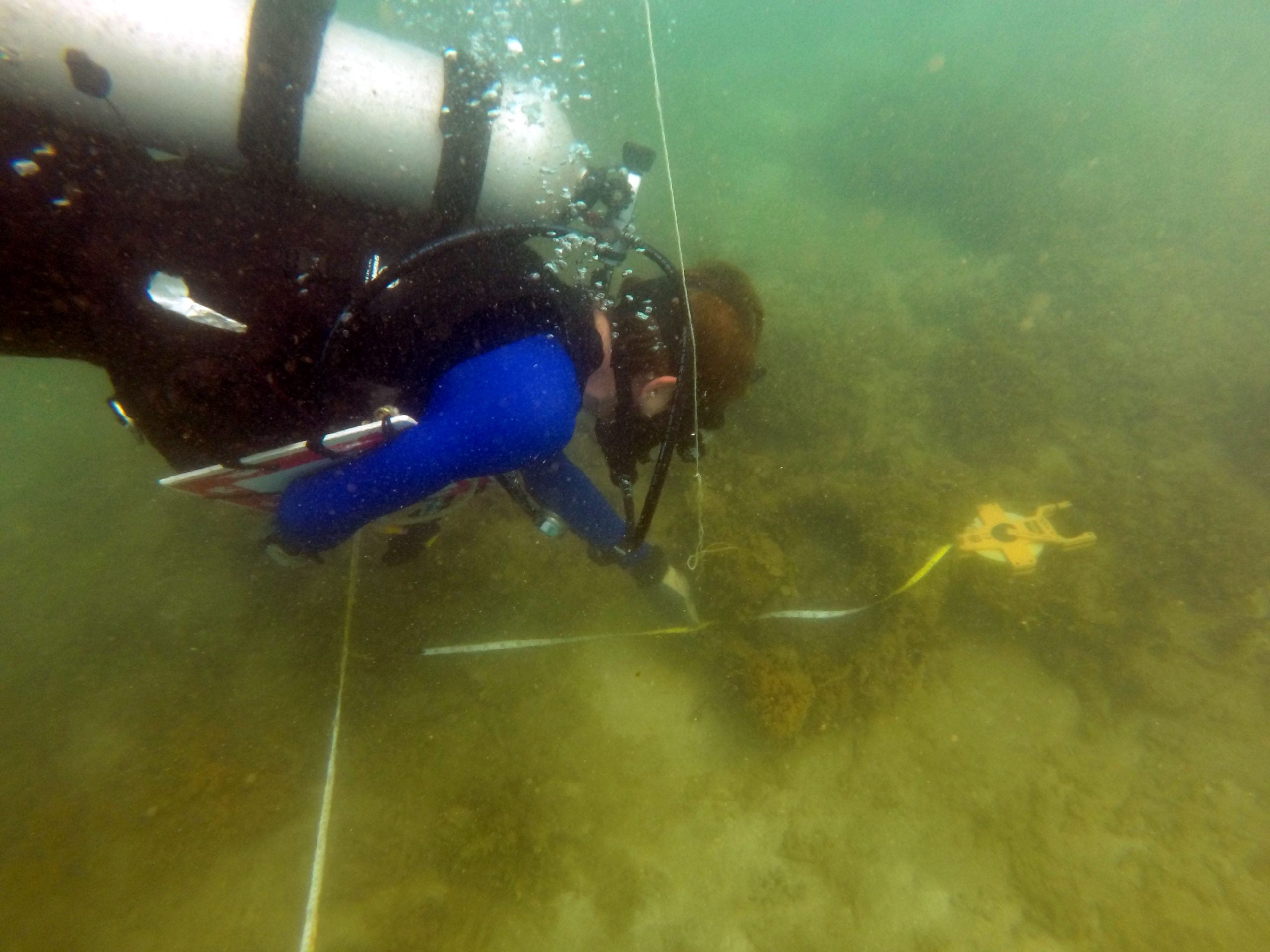
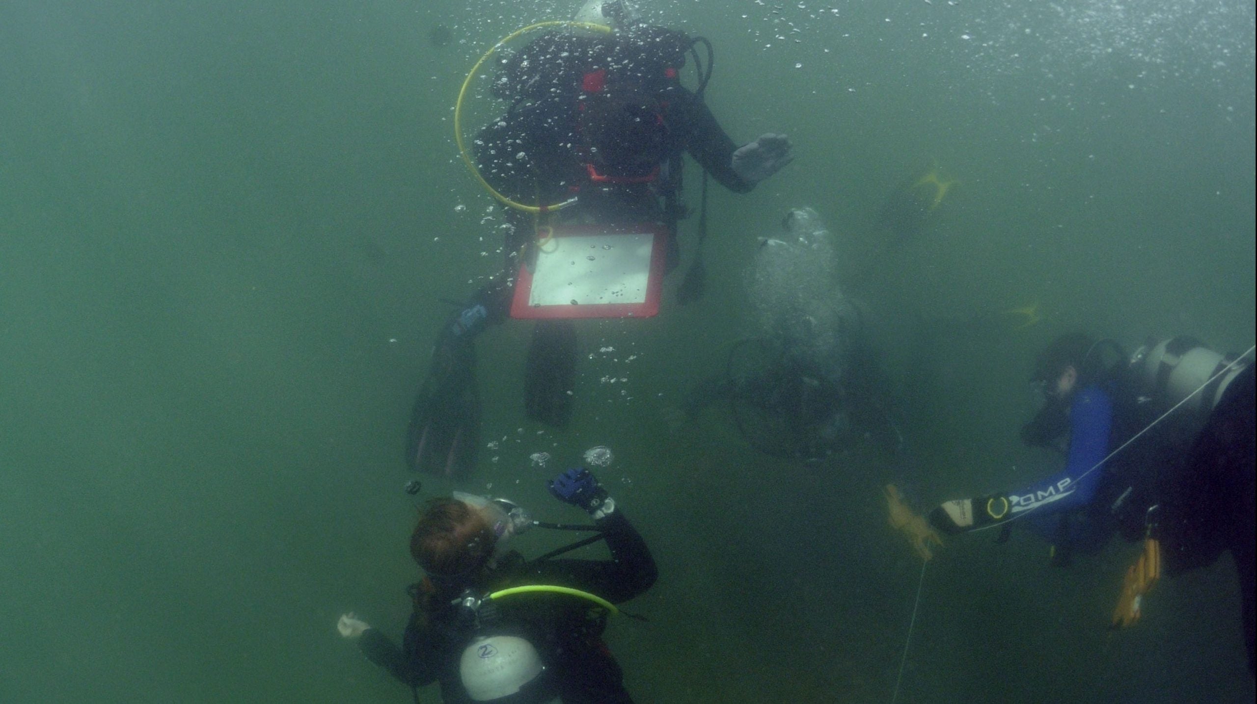
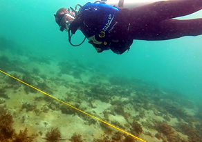
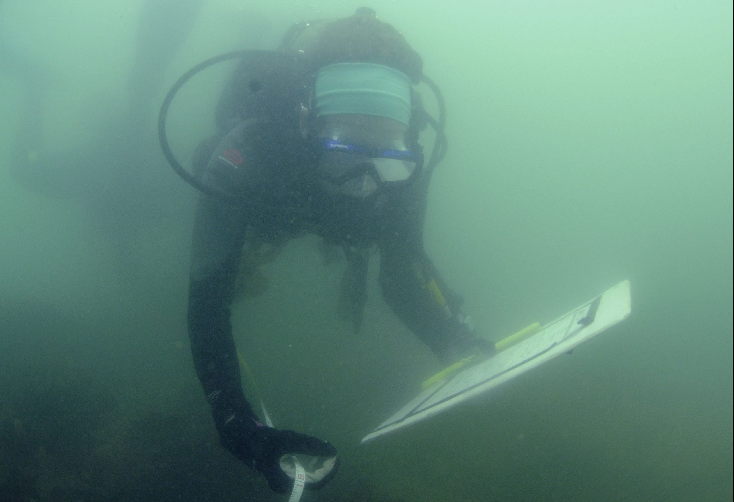
Today, two groups basically finished working on the cannon and anchor site. My group was in charge of taking the compass bearings for each of the cannon and taking the distances between certain features on the site, including; three cannon, the two anchors, and the shore. To do this, we used a data scope which … Read more

A comedy of errors (and, of course, some mapping)

Today we started mapping the brick site using the baseline we set two days ago. Each of us was assigned a “unit” to map to scale, and we attached a tape measurer to the baseline to take offsets within our section. We decided to use a 5 centimeters to 1 meter scale and prepped our … Read more

Tourists for a day

Instead of diving today, we took the opportunity to accomplish other tasks assigned to us. We were split into three groups – some students remained behind to do data processing, some walked around Cahuita to work on an artwork inventory, and the final group interviewed a fisherman about his personal history and connection with the … Read more

Post-processing after small craft recording

Over the last two days, Sydney, Kelsey, Bettie, and I worked on recording the small boat Jamaica Town. Our process ranged from making basic observations, such as how many rows of seat the boat had and its color, to taking detailed measurements of the watercraft. After we collected the data our group worked on another … Read more

Trilateration, Trials, and Tribulations

After a successful day of diving and rectifying the spatial distances between each cannon yesterday, my team was confident that finishing the last of these measurements would go smoothly. While we were working on the first measurement, an un-numbered cannon was discovered. It seemed as if the cannon had been previously found on the free … Read more

 Low Visibility? No Problema!

Today’s diving consisted of low visibility, persistence, and good communication. Visibility varied between <1 foot to 1 ½ feet depending on of the amount of diver activity in an area and the surge. Two teams attempted and completed trilateration measurements between datum points on the cascable and muzzle of each cannon in piles found so … Read more

Photos, photos, and more photos: How to make a 3D model

After a morning of diving, Dr. Richards, Hannah, Devin, Elise, Lauren, and I set out for an afternoon in Puerto Viejo, a town near Cahuita and home to one of our sites, El Lanchon. El Lanchon is the remnants of a 19th century oil barge used for transporting heavy machinery that was abandoned by Loffland … Read more

Pin It on Pinterest