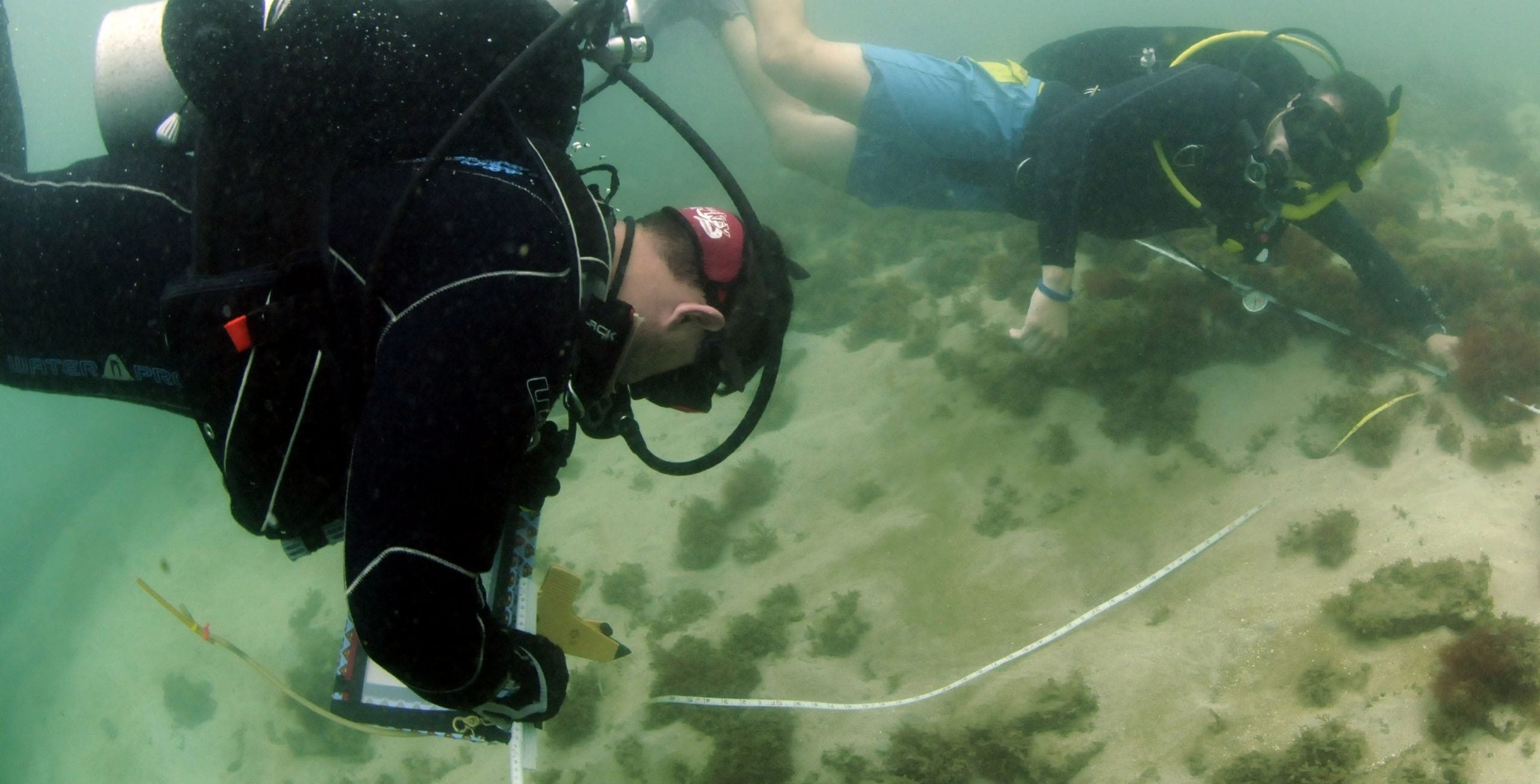
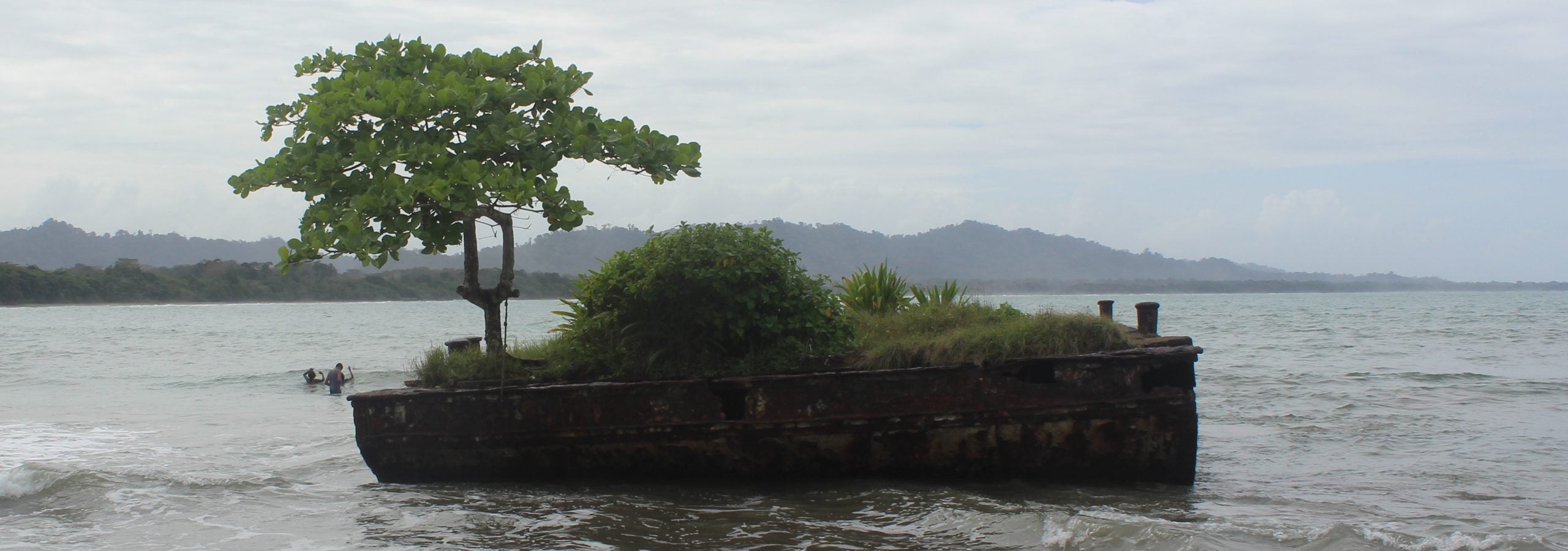
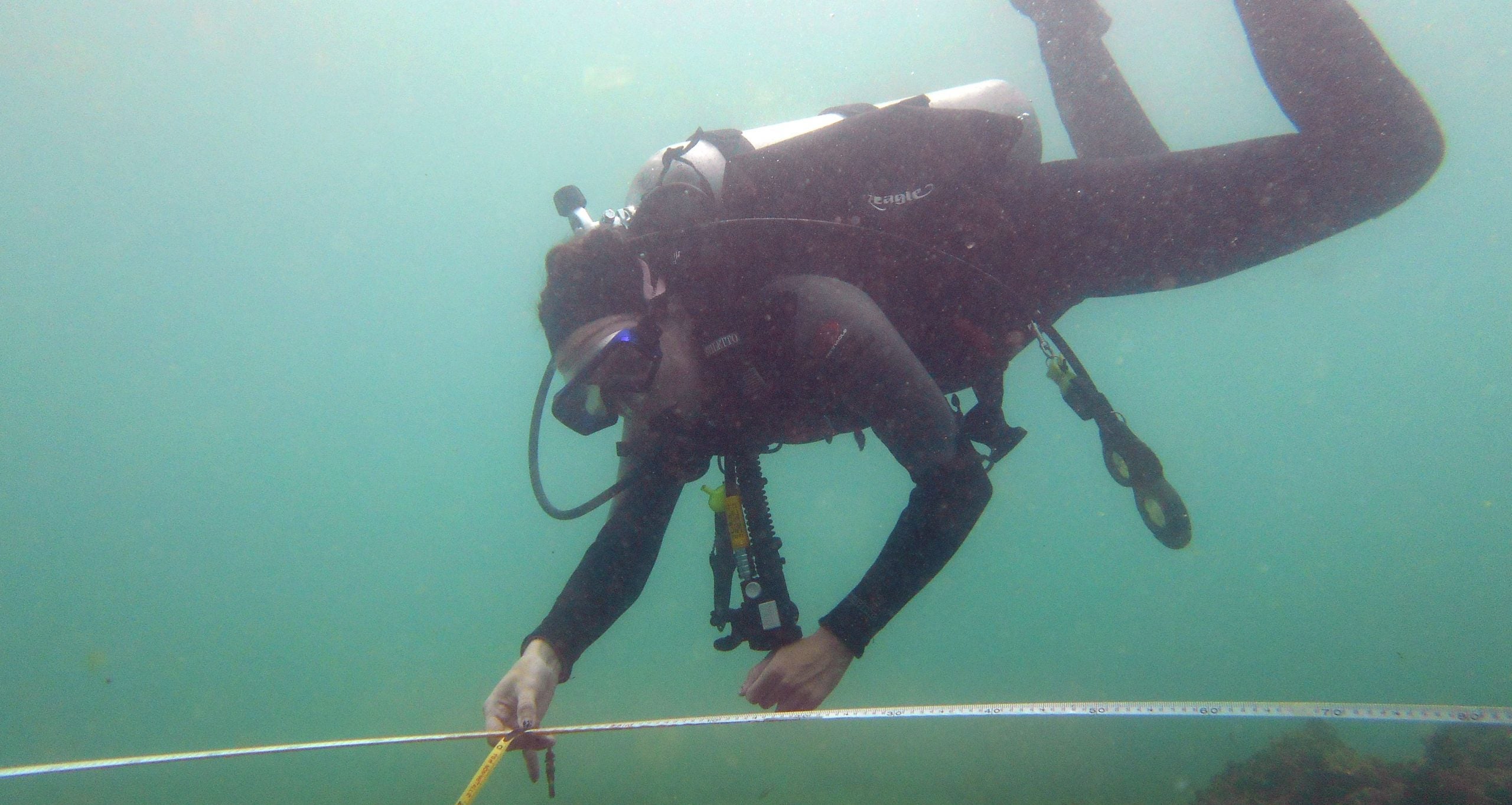
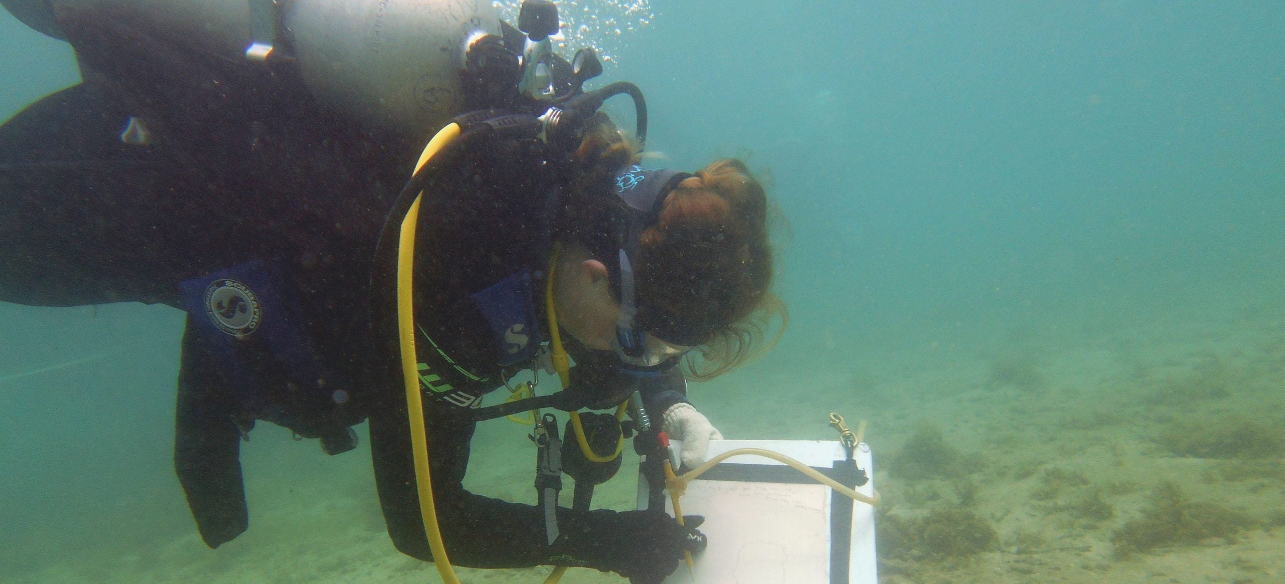
Trip Photo Album

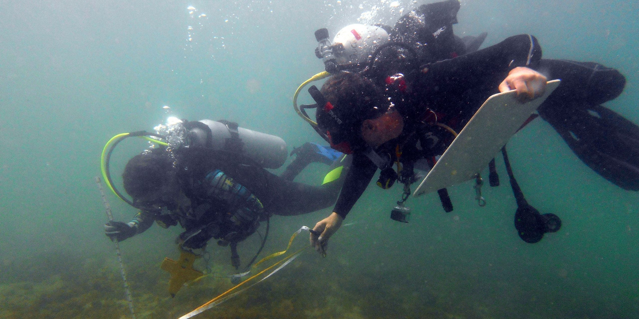
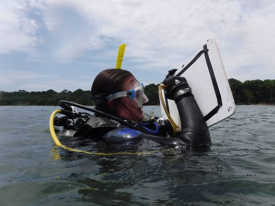
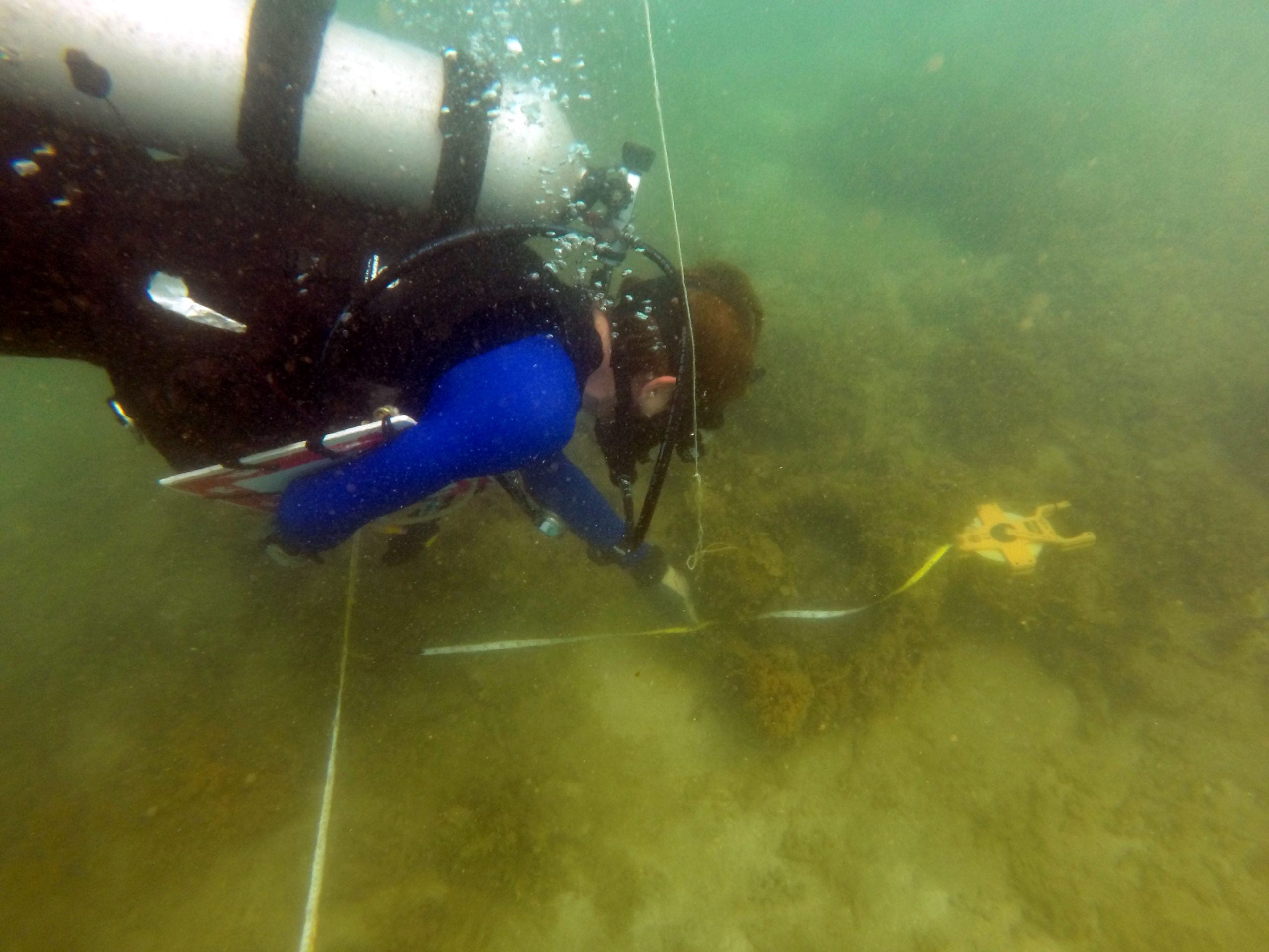
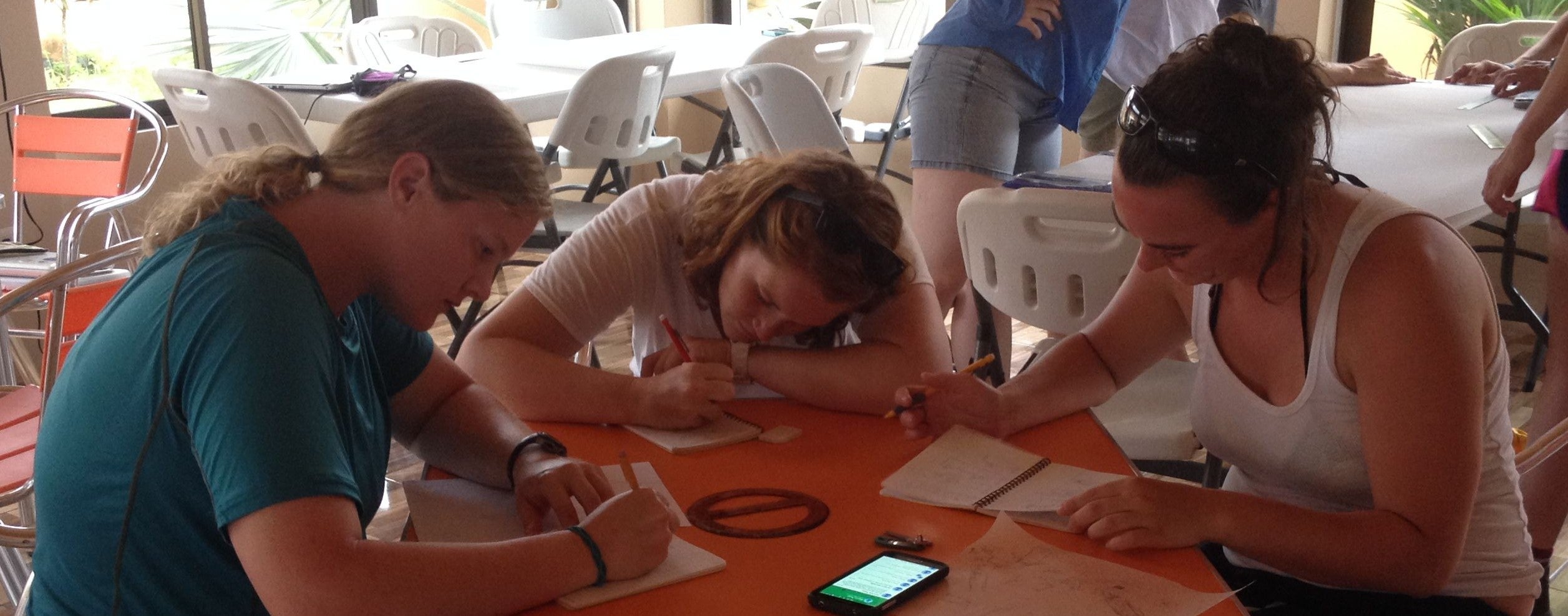
We would like to thank our followers for reading all about our field work in Costa Rica. Today is, sadly, our last day in Cahuita, but that does not mean the project is over! While we pack up and head home to North Carolina, we would like to share our amazing trip with you! Please, … Read more

The Making of a Model – Small Boat Recording

Throughout our stay here in Cahuita, Costa Rica, we have documented several of the local small boats used for fishing and eco-tourism. After recording these vessels, an important part of our job is presenting the data to others. Models are a great way to demonstrate the features of an item. The practicality of creating a … Read more

Last Day of Recording!

After a great deal of hard work, and more than our fair share of “dumb jar” moments, all teams finished recording their sections of the Brick Site.  After surfacing, we were treated with a quick boat trip to Cahuita Point to mark the end of site recording. Here we ate coconuts and checked out some … Read more

Cloudy with a Chance of El Lanchon

Today, a small group of us went back to El Lanchon in Puerto Viejo to take measurements of the structure. I finished up photography for the photogrammetry of the top of the barge structure while Wale and Scott ran a baseline along the structure and took measurements of significant features. These included spots of erosion, … Read more

We’ve (almost) got scientific mapping down to an art

Today, a group of us returned to the brick site to continue working on our units. Most of the bricks lie between 20 and 30 meters on the baseline, approximately, so the buddy teams assigned to these two units were required to complete a large amount of detailed drawing. We (Katie and Emily) have been … Read more

Just another day mapping paradise! 

Today we continued mapping the Brick Site in Cahuita’s National Park. The weather was perfect, the visibility was great, and the water temperature was better than anyone could have asked for. The baseline is 54 meters in length, so we split up the site into 5 meter units. In total there are 22 units and … Read more

Finishing the Cannon Site

Today, two groups basically finished working on the cannon and anchor site. My group was in charge of taking the compass bearings for each of the cannon and taking the distances between certain features on the site, including; three cannon, the two anchors, and the shore. To do this, we used a data scope which … Read more

A comedy of errors (and, of course, some mapping)

Today we started mapping the brick site using the baseline we set two days ago. Each of us was assigned a “unit” to map to scale, and we attached a tape measurer to the baseline to take offsets within our section. We decided to use a 5 centimeters to 1 meter scale and prepped our … Read more

Post-processing after small craft recording

Over the last two days, Sydney, Kelsey, Bettie, and I worked on recording the small boat Jamaica Town. Our process ranged from making basic observations, such as how many rows of seat the boat had and its color, to taking detailed measurements of the watercraft. After we collected the data our group worked on another … Read more

Pin It on Pinterest