The NAS is dedicated to advancing education in nautical archaeology at all levels; to improving techniques in recording, preservation and reporting and to encouraging the participation of members of the public at all stages. The Nautical Archaeology Society is a non-government organisation formed to further interest in our under-water cultural heritage. We are a registered charity based in the United Kingdom, but with strong links to partner organisations around the world. We aim to preserve our archaeological heritage in the marine environment, by acting as a focus for coastal and marine archaeology. To do this we need to involve everyone- divers and non-divers, scientists, historians and anyone with an interest. Our underwater heritage is not renewable, and is at constant threat from natural and human agencies. See website http://www.nauticalarchaeologysociety.org/content/discover-more-nas-education-programme
ECU faculty and students taught the NAS I and II levels to the student divers, splitting the curriculum into classroom and practical sections conducted on land and in a pool, prior to diving the site.
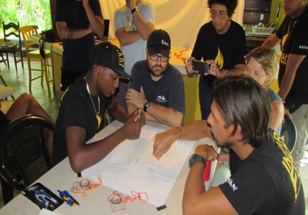
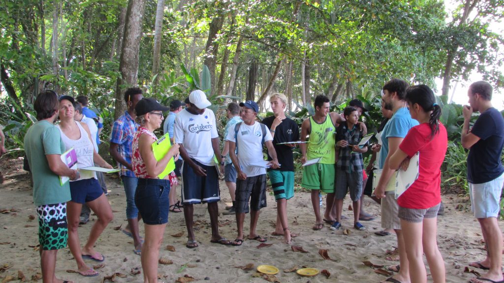
The four-day training included classroom work, dry practice on a beautiful tropical beach at our La Caracola accommodations. An assortment of objects including tools, jewelry, crockery, cutlery, coal, timbers and toys were scattered on the sand. The site featured a simulated stern and bow area. Students first made sketch maps, then practiced scale mapping and attempted to interpret the provenience to understand the wrecking process and activity areas on the ship. They were instructed to observe artifacts that might indicate demographics like age, gender and nationality of the crew and passengers. This included noting modern intrusions like a coke can and divers mask left behind on the site.
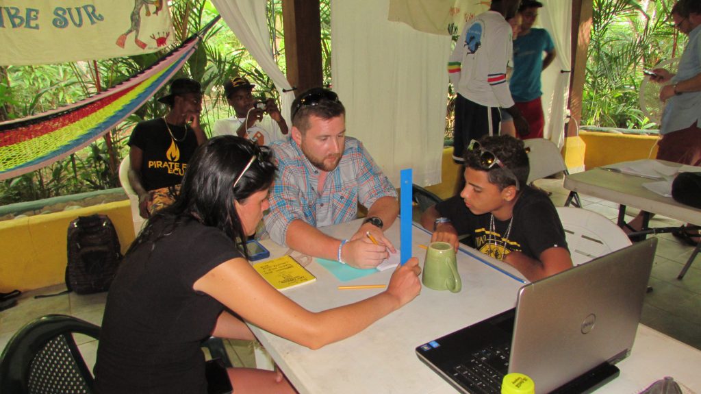
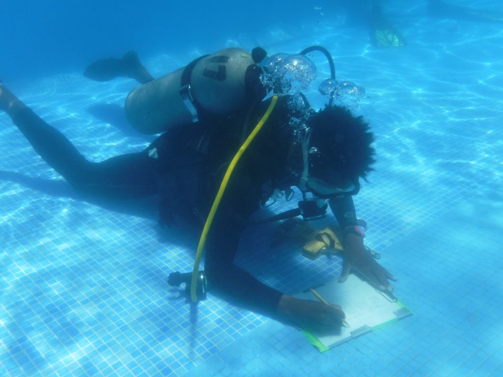
Hotel Atlántida generously offered the team the use of their beautiful pool for a day of training. The students, supervised by Annie and Dorothy, conducted mapping operations on a collection of artifacts spread on the pool bottom. They learnt about baselines, trilateration, offsets, datums, and the importance of buoyancy control and carefully securing hoses and reeling tape measure in order to protect the site and their safety from entanglement.
A week of dives and additional training followed, in which important features were identified and mapped, the dimensions of the site expanded, and key diagnostic artifacts recovered. The students participated in nearly all components of the 10-day project, assisting in the setup, survey, and breakdown of the site.
ESTEBAN GALLO MADRIGAL