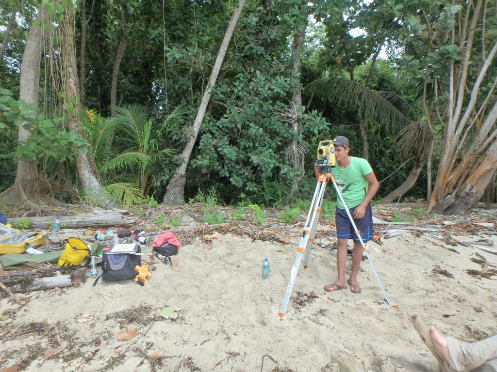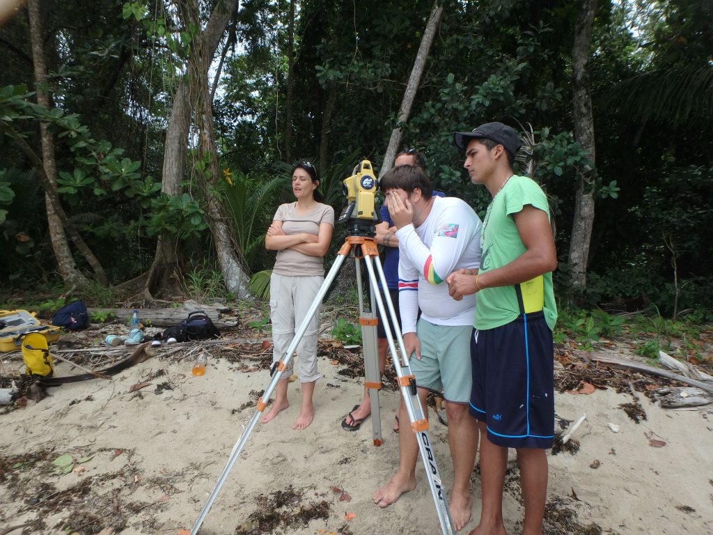
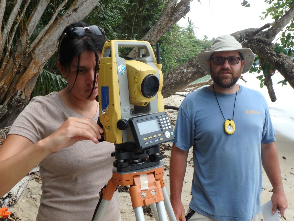
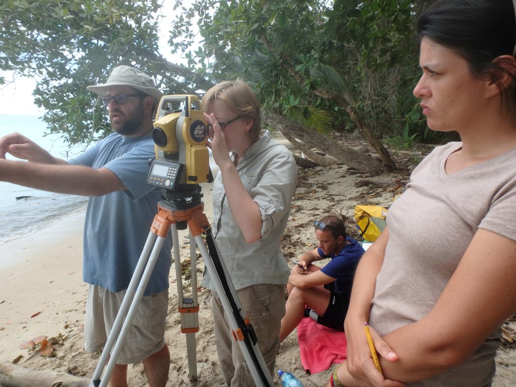
After finding artifacts deemed necessary for recovery, ECU and Costa Rican students set out to geo-position these artifacts. In doing this, the artifacts location will be know, even after the artifact is removed. One team, led by Dr. Richards, trekked into Cahuita National Park with a total station. They set up the total station along the beach in order to get of clear line of sight to the site. After setting up the total station, the equipment was linked up with satellites in order to get an accurate GPS reading.
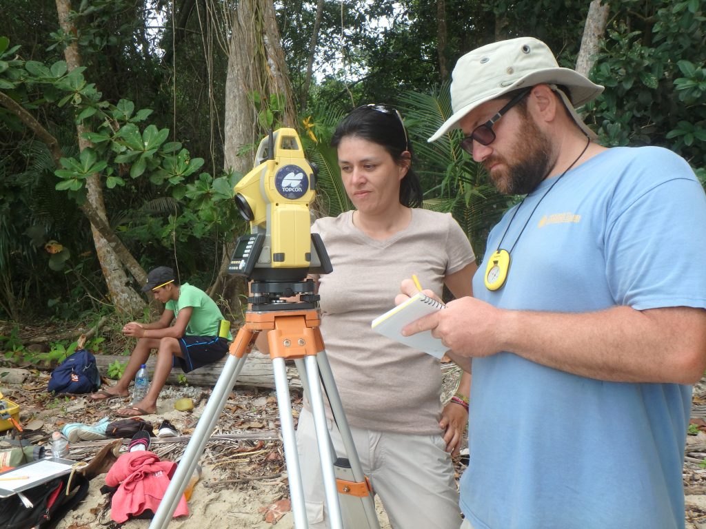
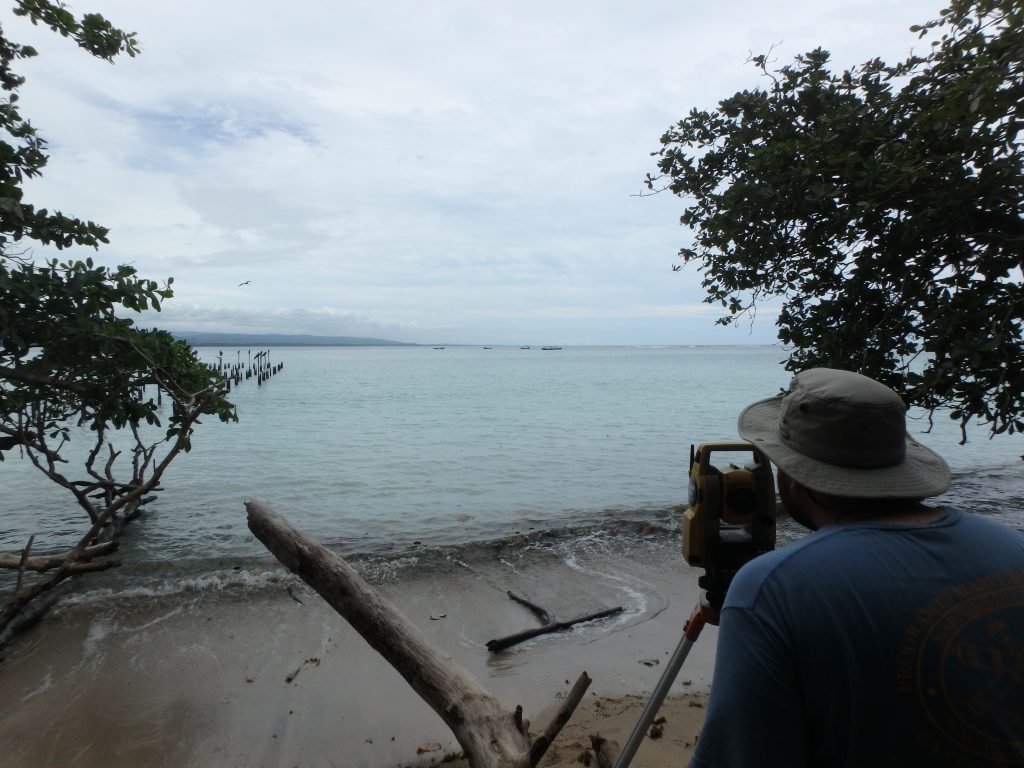
The team with the prism, which is placed above the artifacts location in order for the laser from the total station to get a GPS location, dove in the water and proceeded to move to the first of ten locations designated by Dr. Richards. The team in the water positioned the prism above the set locations and radioed the land team to shot the laser to get the GPS location. The operation with smoothly and all of the locations were measured by the total station. In post processing, it is possible to take these positions and geo-rectify them on a map.