As part of the 2017 fall fieldwork, students spent three days documenting and recording material culture at Punta Cahuita. In addition to surveying the shoreline and nearshore environment for cultural materials, an additional day was utilized to conduct marine life surveys assessing the site’s biodiversity.
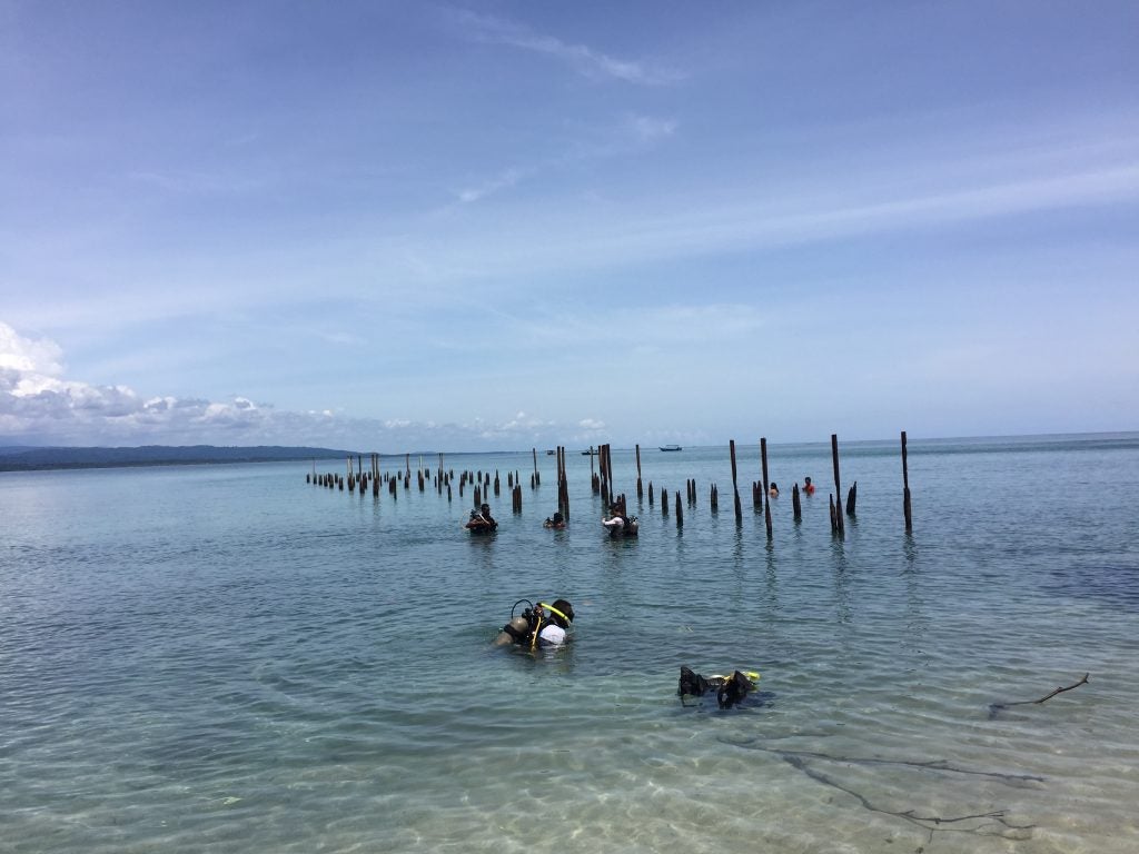
On September 5 and 6, 2017, students mapped the remains of the Punta Cahuita Pier and conducted two swim line survey near the remains of the pier. However, no cultural materials or potential cultural materials were identified. The second swim line survey south of Cahuita Pier resulted in the location of several pieces of material culture. This shoreline survey started 10 meters out from the shore and ran parallel to the beach in a southerly direction for approximately one half mile. Survey lines were spaced at 30 meter intervals. Approximately 200 meters of the nearshore environment was surveyed. Any artifact found on this survey was flagged and marked with a float for further recording. No GPS points of either swim survey were taken.