
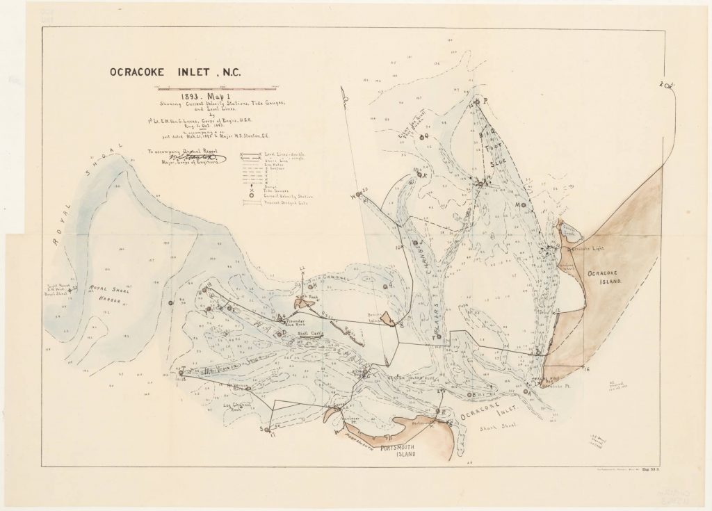
Map shows Ocracoke Inlet, between Ocracoke Island, Portsmouth Island, also Wallace Channel and Blairs Channel. Also shows soundings, buoys, tide gauges, and current velocity stations. OCLC 45765878 : “By 1st Lieutenant E.W. Van C Lucas, Corps of Eng’rs U.S.A. Aug. to Oct. 1893. To accompany a report dated March 21, 1893 to Major W. S. Stanton, C.E. To accompany Annual Report, [signed] W.S. Stanton, Major, Corps of Engineers.” At lower right: “The Friedenwald Co. Photo-Lith., Balto., Md. Eng. 53 3”. North Carolina Maps is made possible by the Institute of Museum and Library Services under the provisions of the Library Services and Technology Act as administered by the State Library of North Carolina. Call Number Cm912m U58o3