Bald Head Island, known historically as Smith Island, is located on the east side of the Cape Fear River in Brunswick County, North Carolina, United States (Website:https://www.baldheadisland.com/). Located at the tip of Cape Fear at the convergence of the Cape Fear River and Atlantic Gulf Stream, the land mass of Bald Head Island ends, trailing off into 30 miles (48 km) of dangerous sand bars known as Frying Pan Shoals. In this area, large sand bars seasonally emerge from and subsequently retreat into the sea. These topographical transformations are often as rapid as they are drastic. The consensus view is that Bald Head Island emerged from one such sandbar, stabilized by a succession of plant life, leading to a permanent land mass.
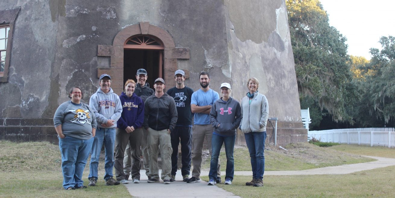
The island is remote and only accessible by ferry from the nearby small fishing town of Southport. Website: There are few cars on the island; instead, residents drive modified electric golf carts. Bald Head Island is nationally recognized for its sea turtle nesting activity( Website:https://www.bhic.org/) The population of the village was 158 at the 2010 The village is part of the Myrtle Beach Metropolitan area. “Old Baldy”, its out-of-service lighthouse, is the oldest standing in the state, built in 1817. (Website: https://www.oldbaldy.org/)
Bald Head Island is tiny but has played a part in two American wars. During the American Revolution, it was home to Fort George, a British fort. During the Civil War, the same redoubts served as Fort Holmes, a Confederate base of importance to shipping and smuggling.