| NPS Building # | Building Name | GPS Coordinates (Google Earth) |
| 1 | Life-Saving Station | 35° 4’6.69″N 76° 3’27.19″W |
| 2 | 35° 4’5.46″N 76° 3’29.70″W | |
| 3 | 35° 4’8.02″N 76° 3’38.18″W | |
| 4 | 35° 4’9.39″N 76° 3’37.15″W | |
| 5 | 35° 4’10.24″N 76° 3’38.67″W | |
| 6 | 35° 4’12.25″N 76° 3’36.86″W | |
| 7 | 35° 4’11.12″N 76° 3’38.90″W | |
| 8 | Portsmouth Methodist Church | 35° 4’10.78″N 76° 3’40.50″W |
| 9 | Washington Roberts House | 35° 4’7.71″N 76° 3’41.70″W |
| 10 | 35° 4’9.53″N 76° 3’46.57″W | |
| 11 | Post Office and General Store | 35° 4’11.22″N 76° 3’50.12″W |
| 12 | 35° 4’12.88″N 76° 3’48.56″W | |
| 13 | Theodore and Annie Salter House | 35° 4’12.75″N 76° 3’51.34″W |
| 14 | 35° 4’14.55″N 76° 3’45.21″W | |
| 15 | Pigott House | 35° 4’15.62″N 76° 3’41.92″W |
| 16 | 35° 4’18.41″N 76° 3’46.64″W | |
| 17 | 35° 4’19.66″N 76° 3’46.53″W | |
| 18 | 35° 4’12.59″N 76° 3’56.76″W | |
| 19 | 35° 4’11.52″N 76° 4’5.15″W | |
| 20 | School | 35° 4’2.04″N 76° 3’50.03″W |
| 21 | 35° 4’4.45″N 76° 3’48.68″W | |
| 22 | Sea Captains’ Graves | 35° 4’7.24″N 76° 3’21.13″W |
| 23 | Cemetery | 35° 4’12.83″N 76° 3’37.75″W |
| 24 | Cemetery | 35° 4’5.40″N 76° 4’2.77″W |
| 25 | Cemetery | 35° 4’11.42″N 76° 3’48.81″W |
| 26 | Cemetery | 35° 4’14.25″N 76° 3’54.94″W |
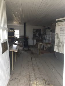
Life Saving Station
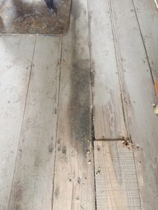
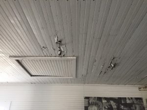
Please note that the entirety of the interior of the building could not be fully assessed as the Life Saving Station Boat Shed, first floor foyer with staircase leading to the second floor, second floor, and observation tower was not examined. The floors, ceiling, and walls were assessed with a general rated condition label of either excellent, good, fair, or poor. Examples of deterioration and related mechanical processes are explained with supporting photographic documentation for evidence of the various types of deterioration. Overall, the general rated conditions of the interior ranges from good, fair and poor with a majority of the rated assessments falling under fair and poor.
Methodist Church
Built in AD 1915, the Methodist Church is built atop of brick foundation piers from its predecessors and measure 40 ½’ x 25’ (Figure 1). A working bell tower extends outward from the front of the church and measures 10’ x 10’. Between the brick foundation piers under the bell tower is a brick lattice. Only one is still intact while the other three have collapsed and lay where they fell. A storm in AD 1944 resulted in foundational shifting and is the reason for the structure tilts to the right.
Overall, the paint on the exterior and interior has been chipping and flaking off. The corrosive window furnishings are minimally damaging the wood. Minimal water damage is observable on the interior. With very minimal work and funds, the structure can be improved by stopping the water damage. In turn this should slow the deterioration of the rest of the structure while retaining the current furnishings, paint, and wooden planks for the foreseeable future.
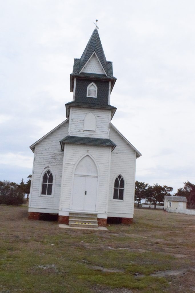
Overview of the Western exterior façade, entrance, and bell tower of the church (Photography by Lynn Harris)
Post Office and General Store
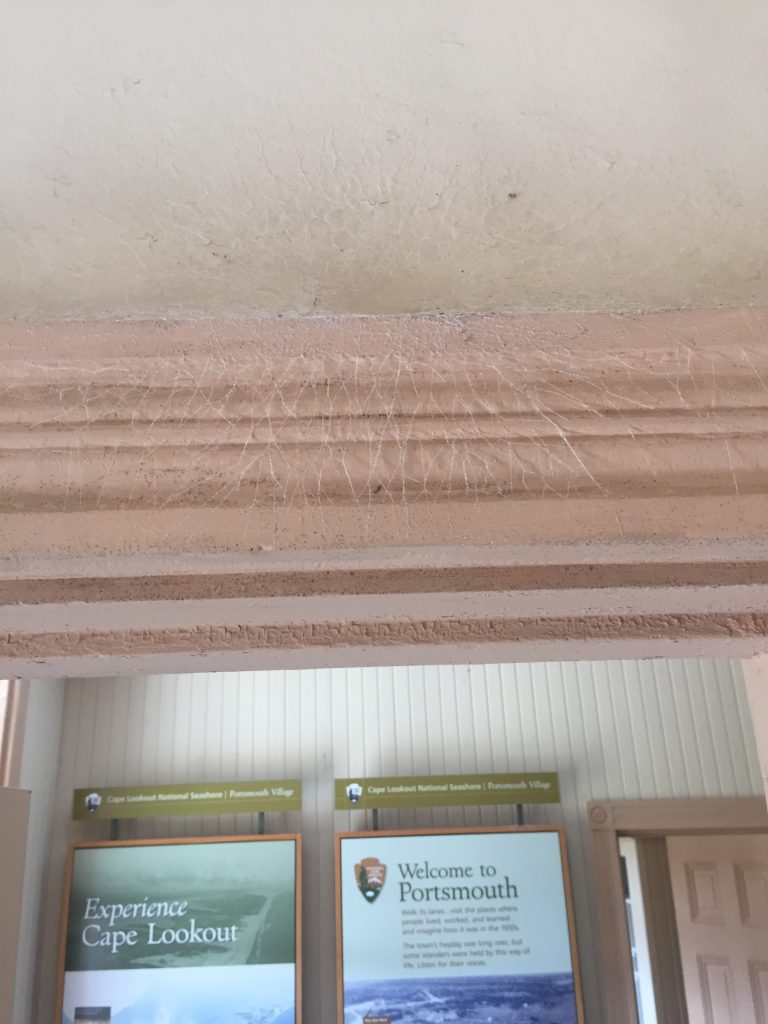
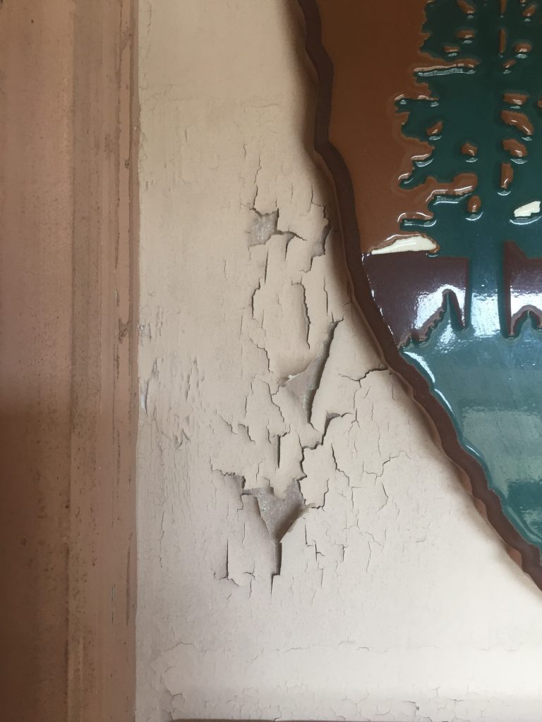
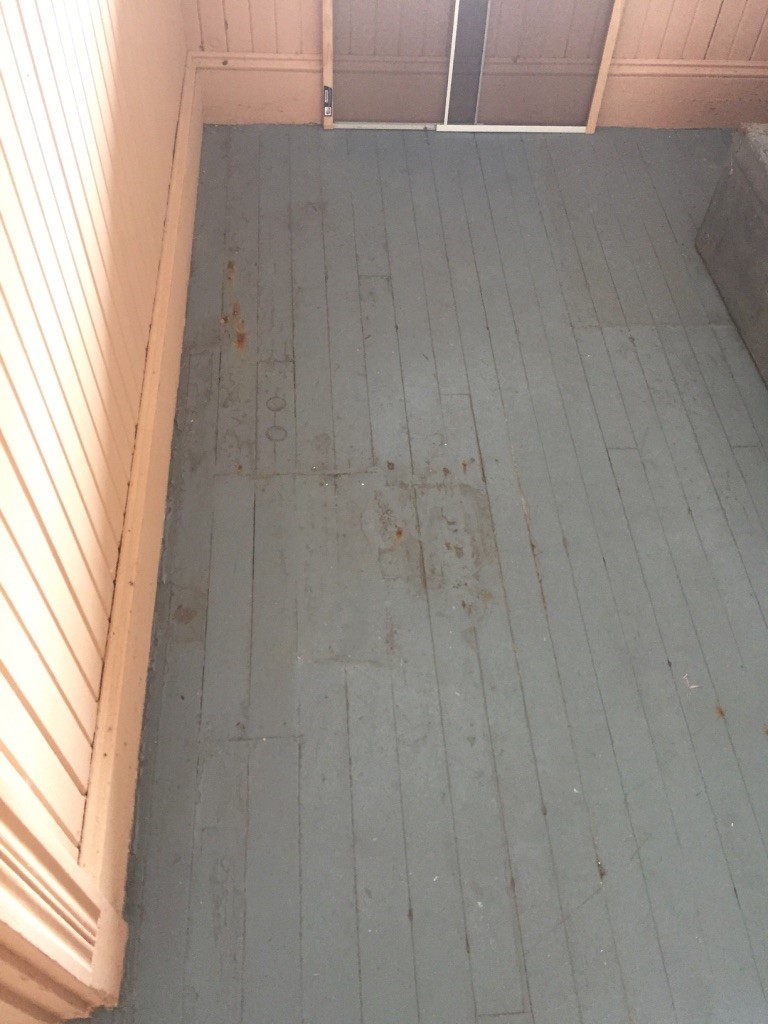
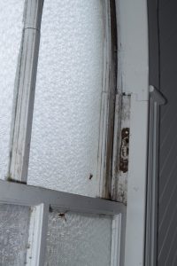
A conditions assessment was conducted of the exterior and the interior of the Post Office on Portsmouth Island. The exterior, interior, floors, ceiling were assessed with a general rated condition label of either good, fair, or poor. Examples of deterioration and related mechanical processes are explained with supporting photographic documentation for evidence of the various types of deterioration. Overall, the general rated conditions of the interior range from good, fair and poor with a majority of the rated assessments falling under good and fair.
Southern Exterior Façade: Good. Some minimal paint damage and loose / missing putty from the muntins holding in the window panes. Further loss of putty will lead to window panes falling out. Some iron staining underneath of paint. Exterior door is offset at a slight angle making it hard to fully close. Similar issues with the interior door. Rust present on the door hinges and handle hardware. General wear and tear on the exterior door and steps. General overall weathering, wear, and tear.
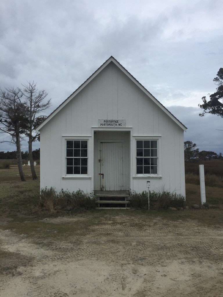
Eastern Exterior Elevation: Good. Minimal paint damage to the exterior of the building. Some iron staining underneath of paint of clapboard where nails are affixed. General weathering, wear, and tear.
Northern Exterior Elevation: Good. Some minimal paint damage and loose / missing putty from the muntins holding in the window panes. Further loss of putty will lead to window panes falling out. Some iron staining underneath of paint. General weathering, wear, and tear.
Western Exterior Elevation: Good. Minimal paint damage to the exterior of the building. Some iron staining underneath of paint of clapboard where nails are affixed. General weathering, wear, and tear.
General Interior Assessment: Fair. Ceiling has signs of movement with evidence of uneven edge fastened boards, paint damage in the form of peeling and flaking down to the substrate with associated water damage present on the floor directly below the most afflicted areas of the ceiling.
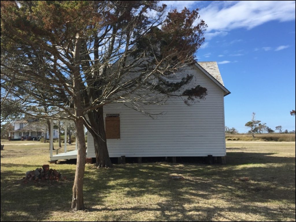
Walker & Sarah Styron House
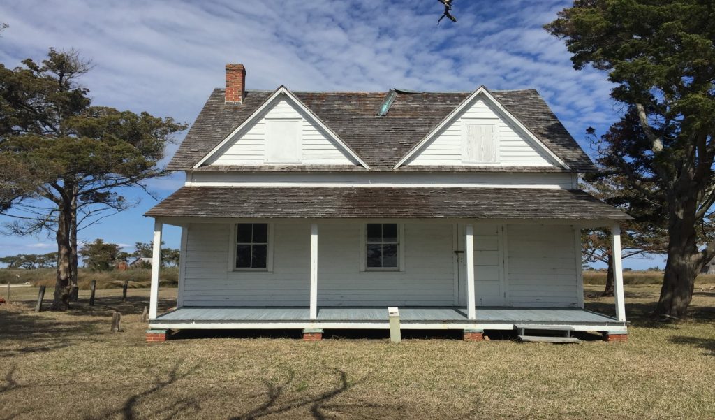
The Walker & Sarah Styron House. It was built by Robert Wallace circa 1850. The original kitchen was destroyed by a hurricane in the 1920’s. The residents of this structure included Robert Wallace and family in1837; John and Theresa Grace and two sons in 1882; Amanda Jane Dixon in 1911; Sarah Roberts Styron and Coast Guardsman Walker Styron and one daughter in 1927; Joffre L. and Lillian M. Coe in 1949 (National Park Service 2011). The Styron House is a sill fronted two story post and beam structure set on rough hewn wooden blocks, log blocks, and brick pilings capped with bent copper plates with wooden shims. The building is clad in white painted horizontal clapboards and a moderately pitched roof clad in wooden shingles with two large inset dormers pierced with windows on both the western and eastern elevations. A brick chimney rises out of the roofline near the northern facade. A slightly canted wood shingles roof extension covers the front porch supported by squared wooden columns. The length of the southern elevation is 804 centimeters (1.04 meters) and the length of the eastern elevation is 704 centimeters (1.04 meters). The length of the eastern façade porch is 211 centimeters (2.44 meters) and the southern façade length is 787 centimeters (7.87 meters). The following is a general conditions assessment of the structure exterior.
The front western facade is in fair condition with structural damage evident on the roofline. The copper ridge cap has sheared off the roof and is angled down. Another part of the ridge cap that sheared off is behind the house on the ground (see figure 64). Some of the wooden shingles are missing and there is heavy discoloration in the middle of the porch roof. Some paint damage but not too deteriorated. The floor of the front porch has a slight upward “hogging” bend running at a slight angle. The bent copper plates exhibit a heavy amount of oxidization. The dormer windows are boarded up. General weathering is evident on the exterior.
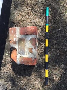
The northern facade is in fair condition with structural damage evident on the roofline. Some of the wooden shingles are missing. General paint damage and deterioration down to the substrate. The bent copper plates exhibit a heavy amount of oxidization. The windows are boarded up. General weathering is evident on the exterior. There is the remains of a rectangular brick foundation on the ground and adjacent to the side of the house (see figure 61). It is not known what this was, but speculation would suggest that this was part of the hearth for the house. There is also a large rectangular ghost mark in the middle of the wall. From an interview of a local resident on Ocracoke Island, information was found on the deliberate dismantlement of homes on Portsmouth Island to make them smaller as resident moved away over time. It is possible that an ell existed on this side of the house but is no longer there.
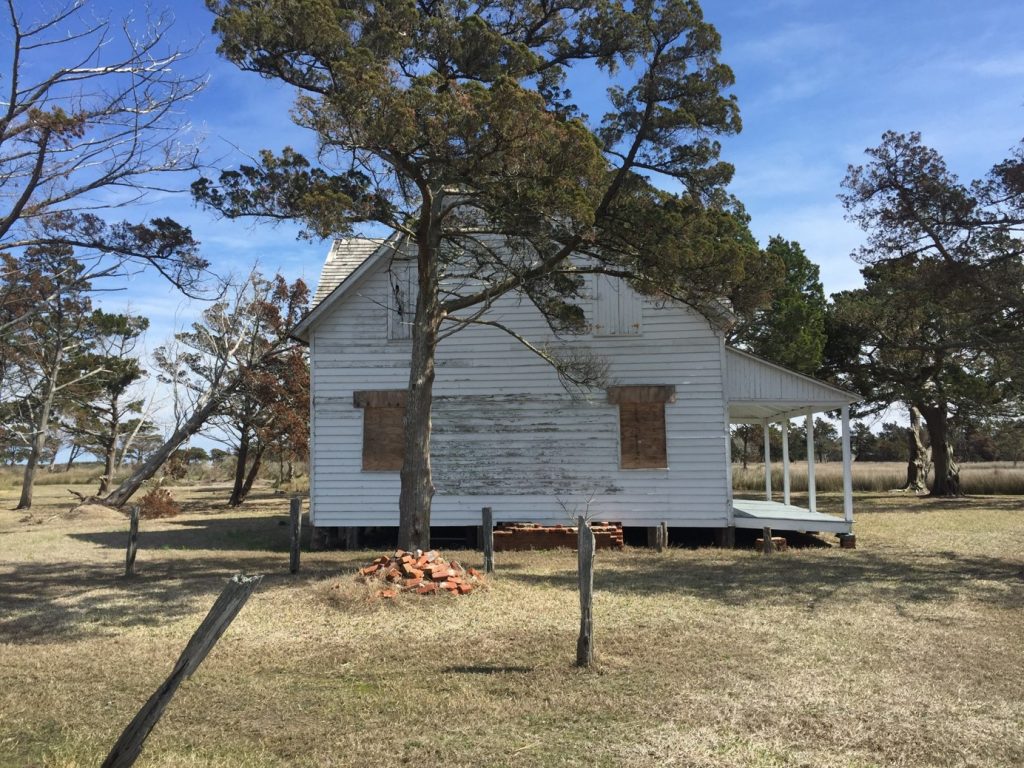
The eastern elevation is in fair condition with structural damage evident on the roofline. The copper ridge cap has sheared off the roof and is angled down. Another part of the ridge cap that sheared off is behind the house on the ground (see figure 64). Some of the wooden shingles are missing. General paint damage and deterioration down to the substrate. All but one of the windows are boarded up. General weathering is evident on the exterior. Ghost marks are evident in the upper section of the wall below the sill. It is possible that an ell or porch existed on this side of the house but is no longer there.

The southern façade is in fair condition with structural damage evident on the roofline. Some of the wooden shingles are missing. General paint damage and deterioration down to the substrate. The bent copper plates exhibit a heavy amount of oxidization. The windows are boarded up. General weathering is evident on the exterior. Though no ghost marks are evident on the elevation, it is possible that an ell existed on this side of the house that is no longer there.
Thirteen features were noted in association with the Styron House. Given the local knowledge known about how homes on Portsmouth Island were deliberately dismantled over time as residents left the island, some of these features are most likely evidence of the previous ells and extensions of the Styron House such as the brick pilings. Other remains such as the fences denote the presence of livestock or other animals. Middens also reveal refuse from people the who lived in the Styron House. The features in numerical order are listed in numerical order with GPS points and a description of the feature.
Feature 1 is a tree modified into a fence post. Part of the tree has been cut and fashioned into a fence post with visible saw marks, one measure to 1 inch deep at 4.5 inches long. Rusted modern rounded nails projects from the wood. It is 1,140 centimeters (11.40 meters) away from the house. The GPS point is 18 S 0403023, UTM 3881344.
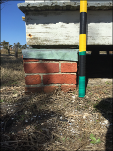
Feature 2 is a brick piling with bent copper sheaving and artifact midden pile. The bricks are mortared together and serve as the foundation support for the southern facade porch. It is capped with a heavily oxidized copper bent cap with a wooden shim set between the top of copper and bottom of the porch floor. The cap has circular saw marks suggesting the use of a circular sash saw. The midden pile has a collection of shell, charcoal, burned wood, broken brick and mortar, and broken flat glassware. The GPS point is 18 S 0403027, UTM 3881347.
Feature 3 is a brick piling. The bricks are mortared together and probably served as a foundation support for the Styron House. Though this is not longer under the house, it should be noted that there are other pilings for the foundation of the house made of worked wooden blocks and uncut logs. The brick piling measures at 12.5 inches width, 17 inches long, and 9.5 inches in height. The GPS point is 18 S 0403028, UTM 3881347.
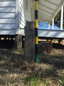
Feature 4 is the remains of a wooden fence post. There are rusty wire cut nails sticking out of the wood. It is 110 centimeters (1.10 meters) northwest from the house The GPS point is 18 S 0403025, UTM 3881352.
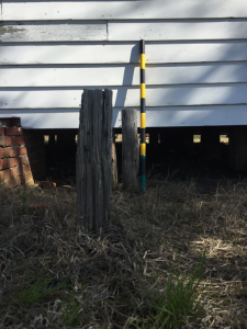
Feature 5 is the remains of two wooden fence posts. There are rusty wire cut nails sticking out of the wood. The farthest post is 120 centimeters (1.20 meters) west from the house and the closest post is 100 centimeters (1 meter) away. The GPS point is 18 S 0403028, UTM 3881352.