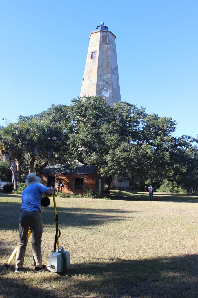
The Terrain Analysis Laboratory in the Department of Geography, Planning, and Environment used a Leica HDS terrestrial laser scanners to record and preserve the current condition of features at the Bald Head Island,Fort Fisher, Ocracoke and Portsmouth historic structures sites. A terrestrial laser scanner is a tripod mounted instrument and emits laser light at a specified vertical and horizontal spacing. For example, we recorded the interior of the Bald Head Island Lighthouse at a point spacing of 6.3 mm. Any surface in the lighthouse reflecting the laser light back to the scanner will be recorded as a point at every 6.3 mm across the entire surface. Each point records the location of the surface, its height, the surface intensity (amount of energy reflected from each object), and an rgb value (from a photo taken with the laser scanner). This information can be used to: measure features; assess structural changes over time, assist in restoration of the sites by identifying features that are decaying, preserve the current condition of the site, develop educational and research-educational experiences, and visualize the features by a variety of media including 3D models printed from 3d printers.