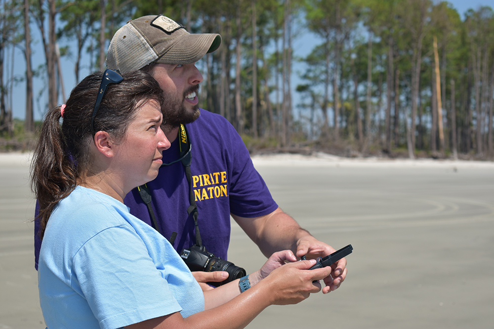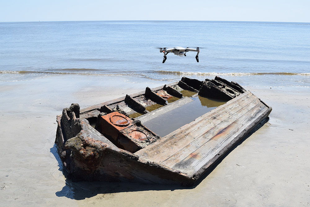
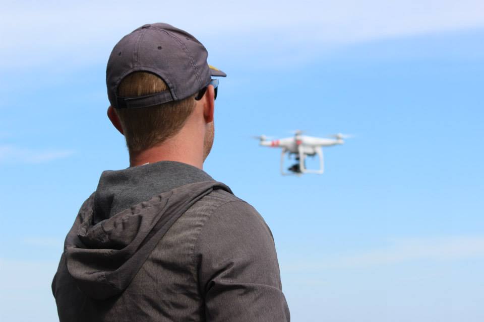
Unmanned Aerial Vehicles (UAVs), or drones, are becoming commonplace items in many countries around the world. The newest versions are affordable, easily controlled, and provide a very useful platform for aerial imagery, videography, and photogrammetry at archaeological sites. The Maritime Heritage at Risk team utilizes two different drones to collect aerial data: the DJI Phantom 2 and the DJI Mavic Pro Platinum. Both drones are piloted using a separate hand-held controller, with the Mavic Pro operated from an app that is downloadable on Apple or Android cell phones. The Phantom 2 uses a separate GoPro camera to collect imagery, while the Mavic Pro has a built-in 4K camera mounted on a two-axis gimble. The flight time of each drone ranges from 25-30 minutes, making them useful for quick site assessments. The aerial imagery provided by these drones also gives archaeologists the opportunity to generate detailed plan, profile or photomosaic views of a site and the surrounding landscape. This imagery is often more precise than simply using satellite images found on GoogleEarth or ArcGIS. Further data collected from drones can be used for educational and outreach presentations or for the generation of 3D models.