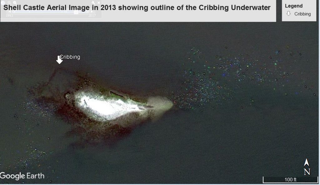
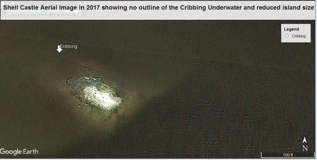
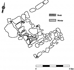
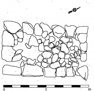
Early commercial success of Portsmouth Island is attributed to an opportunistic land reclamation and construction endeavor situated on an oyster shell bed to the west of Portsmouth Island in Ocracoke inlet. The operation was financed by two prominent business partners John Wallace and John Blount and their domestic, artisan and maritime slaves. The permanent pollution was 25. It took place in successive stages in 1790, 1792, 1793 and 1797. The operation consisted of adding ballast stones, shells and turf to the bed and stabilizing with crib style wharf construction typical of the colonial period. It was one mile long and twenty feet wide. The village comprised a warehouse, several dwellings, a chandlery store, rope works, sail lofts, a warehouse, a tavern, a pier and other docking facilities (McGuinn 2000:46-49; NRHP Inventory).
Shell Castle became a successful maritime enterprise serving the southeaster seaboard and Atlantic trade networks. It was convenient for North Carolina trade because ships did not have to enter the Pamlico Sound or the less accessible ports up the Neuse River. Captains could more efficiently undertake repairs, unload cargo and resupply. The slave population on Portsmouth played a crucial role in shipwreck salvage operations, lightering cargoes and piloting ships over the sand ships. Other maritime industries also emerged such as seine netting mullet and a porpoise fishery as an alternative to whale oil (McGuinn 2000:39-115; NRHP Inventory). Hurricanes and closing of the channel that served the Castle ended activities in 1812. Thus, when Ocracoke Inlet shifted and shoaled Shell Castle Island, eroded away and so did the role of the island as a vibrant maritime center. The death knell to the island was the 1846 storm sliced new inlets and new trade routes through Hatteras Island to the north.
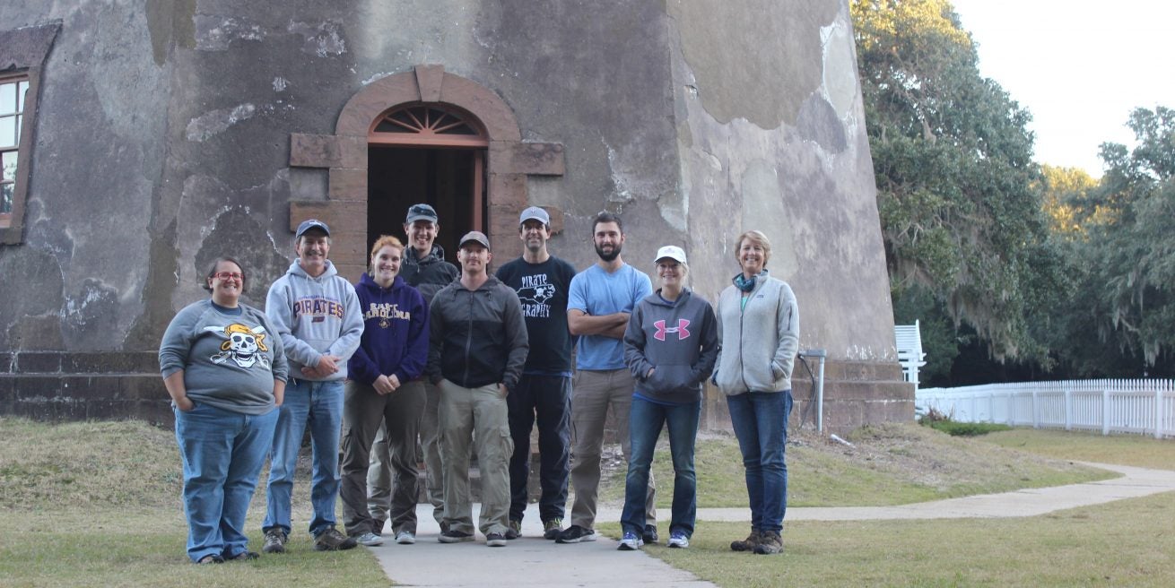
In 1999 a collaborative underwater archaeology project was undertaken on the site involving the NC Underwater Archaeology Branch and East Carolina University, Program in Maritime Studies. The National Park Service, US Coast Guard, and Ocracoke Historical Society provided further logistical and financial. The team conducted remote sensing operations, mapped the remaining submerged structure and recovered historic ceramics. The data all formed the basis for Philip Horne McGuinn’s excellent MA thesis Shell Castle, A North Carolina Entrepot, 1789-1820: A Historical and Archaeological Investigation written under the direction of Professor Gordon Watts.
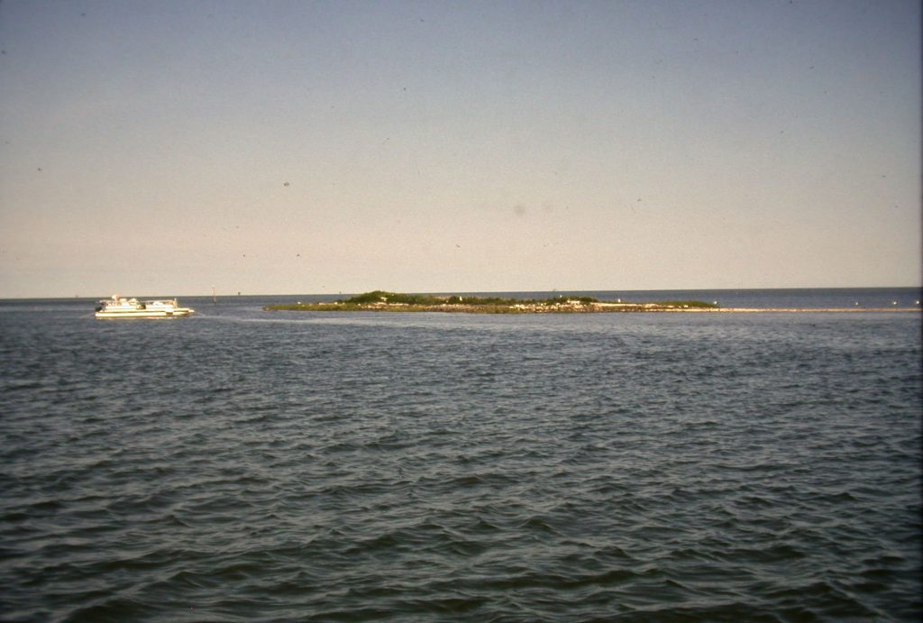
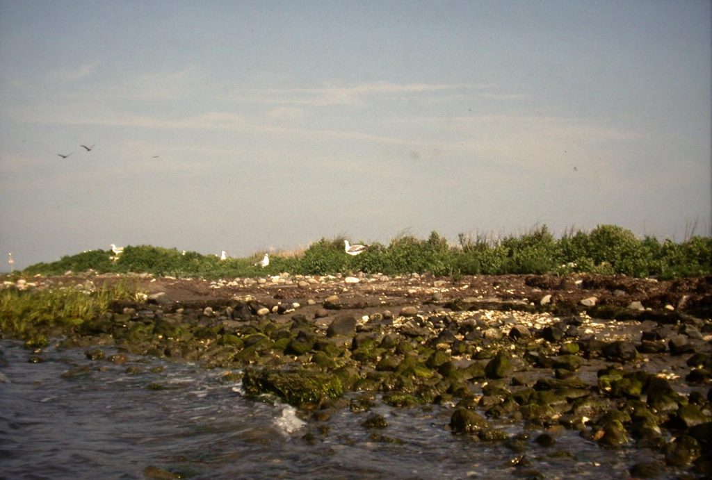
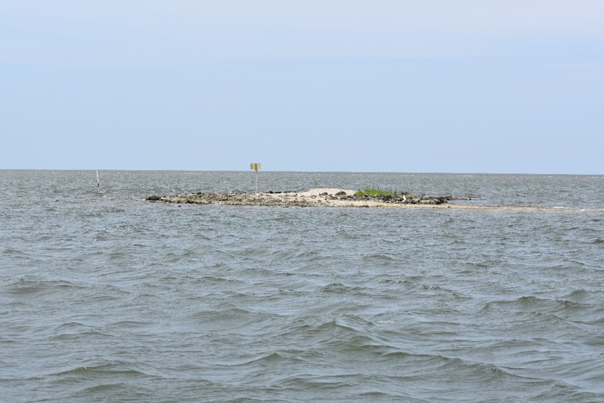
Beacon Island is another similar small island in Ocracoke inlet used both as part of a trading port developed in the late 1700s. During the Civil War it was the site of the Confederate Army Fort Okrakoke. Erosion steadily degraded the island, which measured about twenty acres in size in the 18th century but, like Shell Castle, had shrunk to about 7.5 acres by 2014. Since 2016, Beacon Island was owned by Audubon North Carolina as a bird refuge—it was home to a large population of pelicans until Hurricane Arthur struck in 2014 and damaged the island to an extent that the pelicans left, leaving a population of herons, egrets, gulls, and terns.
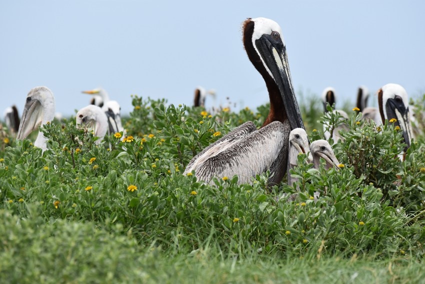 Beacon Island now a sea bird breeding habitat (Photo by Lynn Harris 2018)